
This presentation designed for potential use as a starter or a plenary activity in Geography. There is also the potential to be used as an activity during a registration or tutorial period or to provide enjoyable meaningful work for a “cover” lesson. The whole presentation has 64 slides.
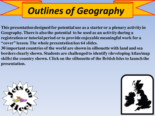
30 important countries of the world are shown in silhouette with land and sea borders clearly shown. Students are challenged to identify (developing Atlas/map skills) the country shown.
30 important countries of the world are shown in silhouette with land and sea borders clearly shown. Students are challenged to identify (developing Atlas/map skills) the country shown.
Something went wrong, please try again later.
This resource hasn't been reviewed yet
To ensure quality for our reviews, only customers who have purchased this resource can review it
Report this resourceto let us know if it violates our terms and conditions.
Our customer service team will review your report and will be in touch.
£2.00