pdf, 741.16 KB
pdf, 741.16 KB
pdf, 727.57 KB
pdf, 727.57 KB
pdf, 16.81 KB
pdf, 16.81 KB

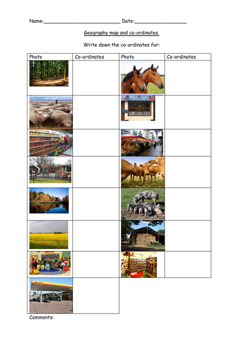
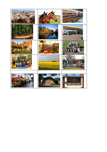
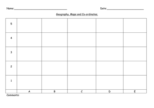
Includes 15 images to cut out and stick on a grid with basic coordinates (A1- E5) for higher abilities and A1- C5 for lower and middle abilities. Maps look best when printed on A3 paper. Images can be printed either A4 or A3.
Higher abilities can draw their own island, then select and stick on the images of the places that they want on their island. There is also a worksheet for students to then find and write the coordinates of each image.
Higher ability students could be encouraged to look for their own images and create their own island, or to create a map of the school or of their route to school, or their village/town.

Get this resource as part of a bundle and save up to 30%

A bundle is a package of resources grouped together to teach a particular topic, or a series of lessons, in one place.

Bundle

Maps, Environmental Awareness, Weather, Rainforest for SEN, Early Years

Maps and coordinates, Environmental Awareness (natural and manmade) Weather Chart (prediction, observation and comparing 2 different areas or regions).], Rainforest labelling and matching descriptions.<br /> <br /> Geography Environmental Awareness (natural and manmade)<br /> 3 differentiated worksheets for natural and manmade environments, plus another to check learning.<br /> <br /> Geography- map and coordinates. <br /> Includes 18 images to cut out and stick on a grid with basic coordinates (A1- E5). Works best if map grid is printed on A3.<br /> Higher abilities can draw their own island, then select and stick on the images of the places that they want on their island. There is also a worksheet for students to then find and write the coordinates of each image.<br /> <br /> Geography Weather Chart (prediction, observation and comparing)<br /> Use the chart to record the weather for 6 weeks in your local area, or use the 2nd chart to compare 2 places or countries. Includes 2 question worksheets for higher abilities, 1 being a recap and summary worksheet of their findings comparing 2 places/countries.<br /> A clip from BBC weather showing the latest weather forecast could be shown during the lesson, and children could be encouraged to look at different areas of the UK or another country to compare the weather in different regions. Use the 2 worksheets to compare understanding before carrying out the observations and after to check learning and understanding.<br /> <br /> Geography Rainforest labelling and matching descriptions.<br /> Label the 4 different layers of the Rainforest.<br /> Match the description with the correct photo and label.<br /> Includes an extension worksheet for students to write their own descriptions of the 4 layers of the rainforest and a mapping exercise for students to find where rainforests are located around the world and colour in on the map (map be best if printed on A3).

£4.49

Reviews

Something went wrong, please try again later.

This resource hasn't been reviewed yet

To ensure quality for our reviews, only customers who have purchased this resource can review it

Report this resourceto let us know if it violates our terms and conditions.
Our customer service team will review your report and will be in touch.