

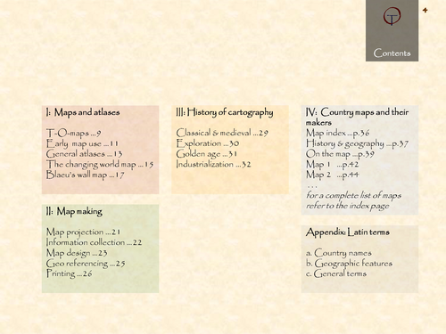
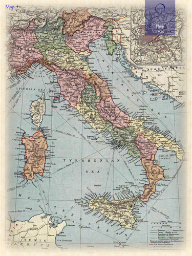
Italy in 49 historical maps: 150AD-2018 (144 pages).
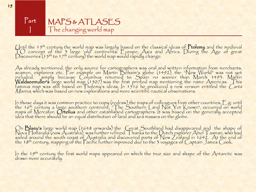
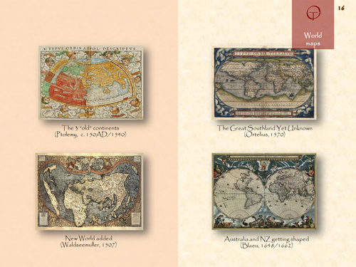
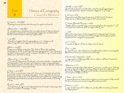
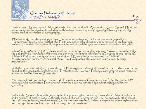
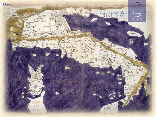
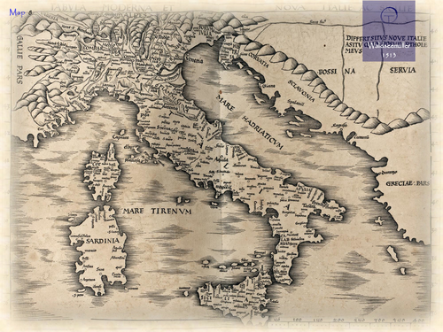
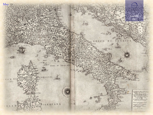
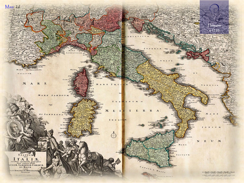
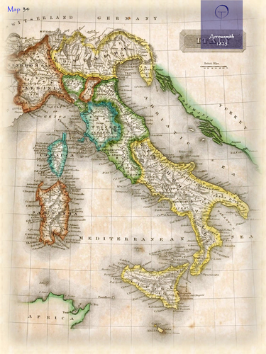
The name Italy (in Latin: Italia) can be traced back to ancient times for the peninsula, though it was initially designated for the region of the lower part of Southern Italy by Greek settlers. Most likely it is derived from the ancient word Viteliu, meaning “land of young cattle”. Italy had been a rich agricultural country since ancient times. After the fall of the Western Roman Empire and the Lombard invasions, Italia gradually became the collective name for various sovereign entities present on the peninsula. Italy was already described by Ptolemy in his Geographia (150AD). The accompanying maps were worked out again by European cartographers at the end of the 15th century. It is also depicted on the Portolan charts during the late middle ages, when the Mediterranean was a centre for navigation and trade. The first printed separate maps of Italy appeared in the early 16th century.
Something went wrong, please try again later.
This resource hasn't been reviewed yet
To ensure quality for our reviews, only customers who have purchased this resource can review it
Report this resourceto let us know if it violates our terms and conditions.
Our customer service team will review your report and will be in touch.
£4.91