

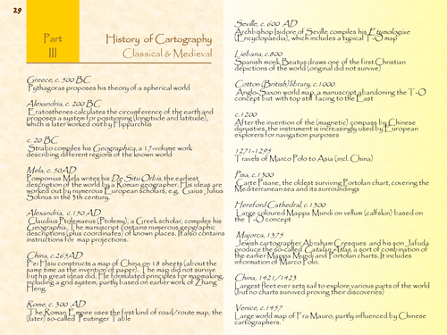
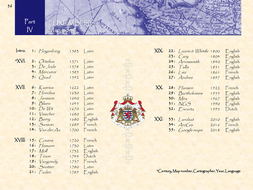
Luxemburg in 35 historical maps: 1571-2018 (116 pages).
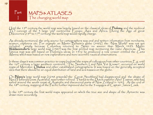
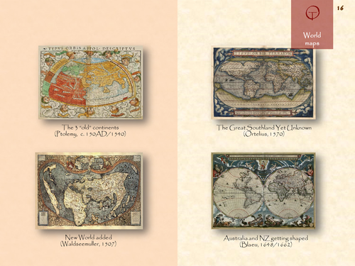
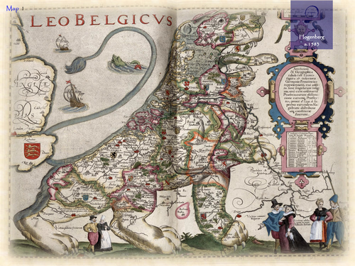
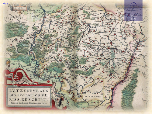
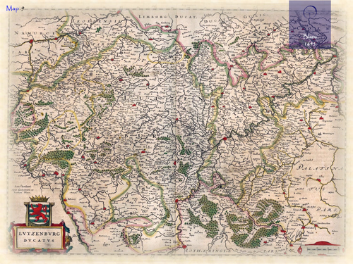
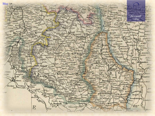
The name Luxemburg (French: Luxembourg) – for both the Country and its Capital City – comes from Celtic Lucilem (meaning “small” or “little”) and Germanic burg (meaning “castle”). Its origin goes back to 963, when Siegfried (of the House of Ardennes), the Abbot of St. Maximin at Trier, got the local castle into possession. From here the successive counts of Luxemburg extended their area. In the 16th/17th century, Luxemburg became a Principality of the Low Countries, and included the present Grand Duchy of Luxembourg, the current Belgian province of Luxembourg and a number of neighbouring areas in France and Germany. The first separately printed maps of Luxemburg appeared at the end of the 16th century. Most of them were made by established cartographers from the Low Countries: e.g. Ortelius, Mercator and Blaeu.
Something went wrong, please try again later.
This resource hasn't been reviewed yet
To ensure quality for our reviews, only customers who have purchased this resource can review it
Report this resourceto let us know if it violates our terms and conditions.
Our customer service team will review your report and will be in touch.
£3.50