

New Zealand in 30 historical maps: 1642-2018 (106 pages).
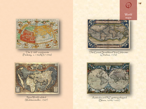
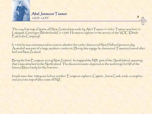
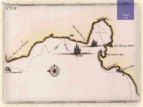
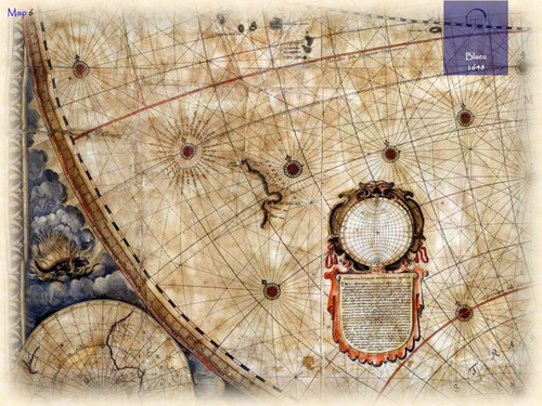
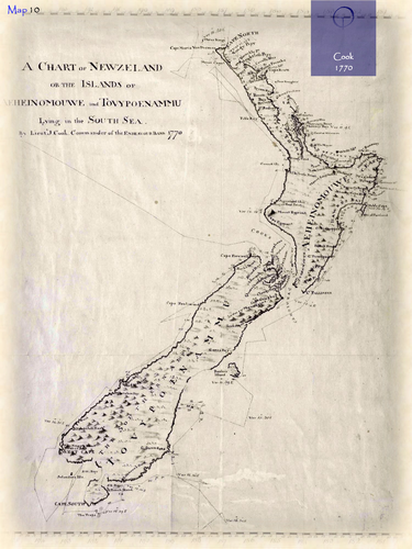
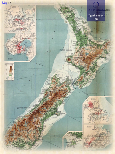
New Zealand is named after the province of Zeeland in the Netherlands, which means “sea land”, referring to the large number of islands it contains. Abel Tasman, the first European explorer reaching the country in 1642, referred to New Zealand as Staten Landt. But later Dutch cartographers used Zeelandia Nova (Latin), followed by Nieuw-Zeeland in Dutch. Aotearoa has become the most common name for the country in the indigenous Maori language, meaning “land of the long white cloud”. After Tasman’s discovery of NZ, parts of its Western coastline appeared for the first time on the famous world (wall) map of the Blaeu family in 1648. It was assumed that the North- and South Island were connected. It took more than 100 years until the whole coastline was mapped, after Captain Cook had circumnavigated the country.
Something went wrong, please try again later.
This resource hasn't been reviewed yet
To ensure quality for our reviews, only customers who have purchased this resource can review it
Report this resourceto let us know if it violates our terms and conditions.
Our customer service team will review your report and will be in touch.
£3.00