
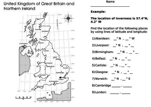
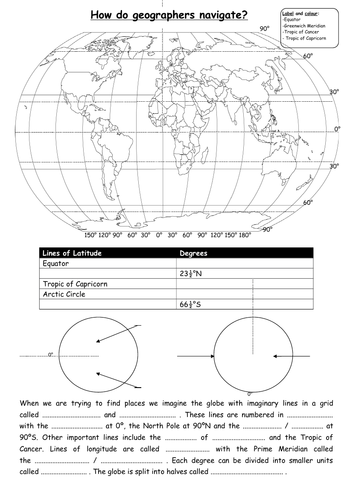
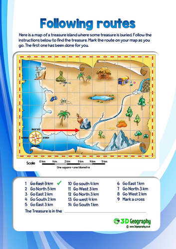
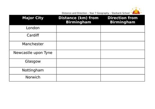
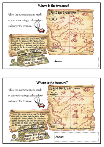
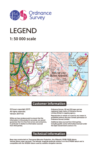
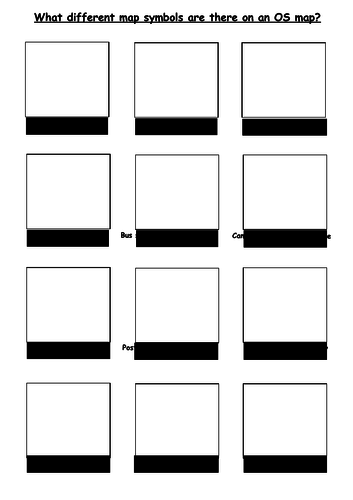
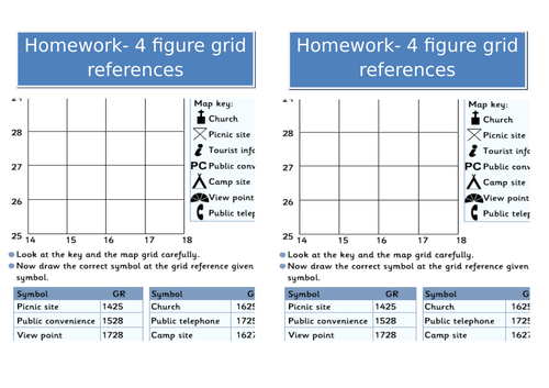
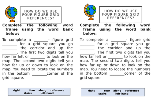
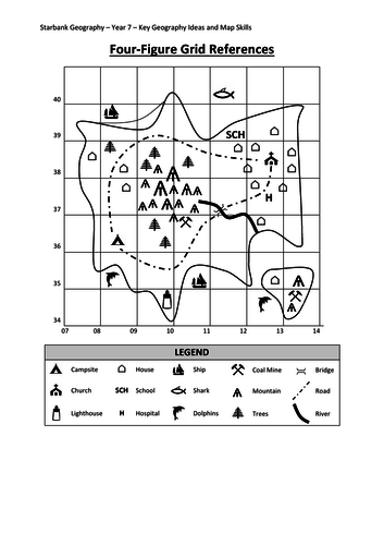
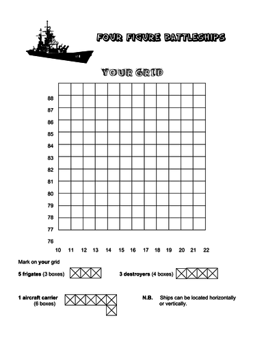
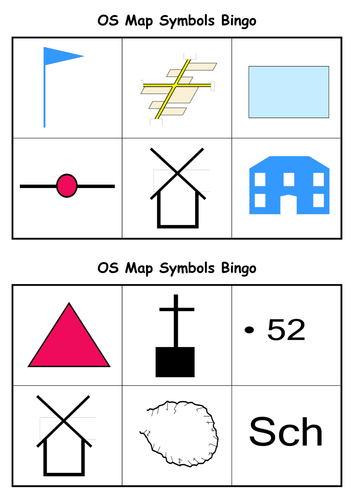
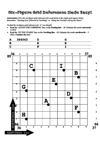
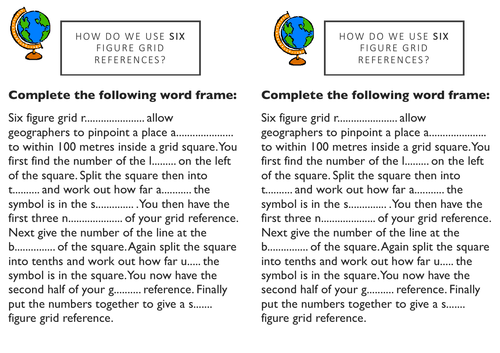
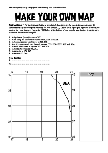
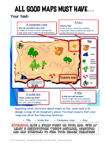
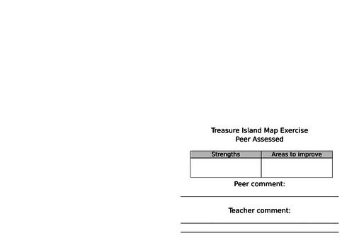
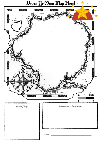
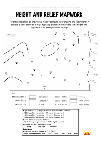
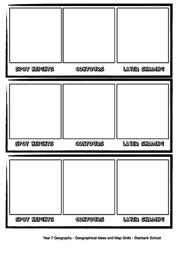
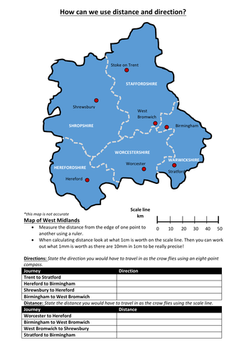
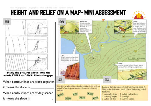
This unit of work is extremely useful for year 7/8 students to improve on geographical skills important for the new GCSE specification. Content includes map skills such as distance, direction, compass points, scale, routes, height on maps (spot height, layer shading, contours), relief of land, cross-sections, four figure grid references, six figure grid references, settlement patterns, graphs/data in geography, different types of maps, longitude and latitude.
Something went wrong, please try again later.
This resource hasn't been reviewed yet
To ensure quality for our reviews, only customers who have purchased this resource can review it
Report this resourceto let us know if it violates our terms and conditions.
Our customer service team will review your report and will be in touch.
£10.00