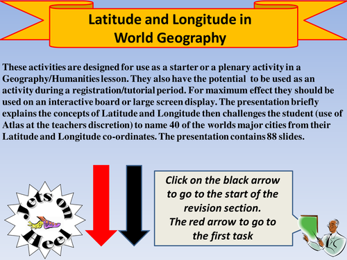

These activities are designed for use as a starter or a plenary activity in a Geography/Humanities lesson. They also have the potential to be used as an activity during a registration/tutorial period. For maximum effect they should be used on an interactive board or large screen display. The presentation briefly explains the concepts of Latitude and Longitude then challenges the student (use of Atlas at the teachers discretion) to name 40 of the worlds major cities from their Latitude and Longitude co-ordinates. The presentation contains 88 slides.
Something went wrong, please try again later.
This resource hasn't been reviewed yet
To ensure quality for our reviews, only customers who have purchased this resource can review it
Report this resourceto let us know if it violates our terms and conditions.
Our customer service team will review your report and will be in touch.
£3.00