
This map skills bundle contains:
- 34 Map skills activities - complete with answer keys
- 3 PowerPoints for use with activities
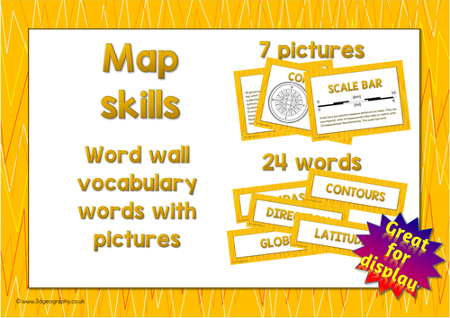
- 24 Map words for a word wall
- 6 Map posters to explain all about maps
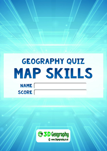
- 1 Map quiz (ages 7-9) - complete with answer key
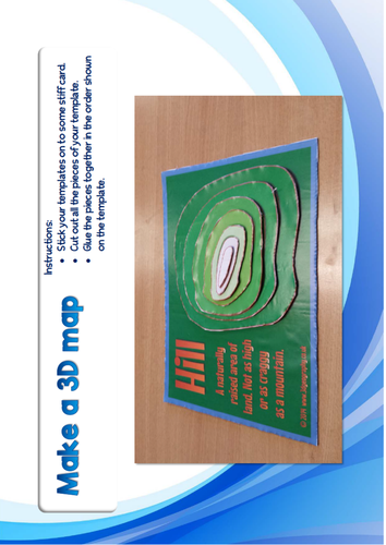
- 4 templates for making 3D maps
- 1 comprehensive list of learning objectives
Comprehensive list of map skills learning objectives for pupils aged 7-11 mainly with other activities for pupils aged 5-16.
34 Activity pages in full colour with answer keys
• Showing direction on a map (UK / USA / Japan / Australia versions)
• Identifying symbols
• Following routes
• Making a map of an imaginary area
• Using an atlas to identify key geographical features
• Alpha-numeric grid references (Map of Mexico)
• 4 figure grid references (Basic and Map of Canada)
• Using latitude and longitude
• Mark on a map the location of major rivers and mountains
• Using Online Map software (eg Google maps) to identify features.
• Identifying features on an aerial photograph using a map of the same area.
• Making a cross section - Basic
• Making a cross section - Advanced (Greenland ice cap)
• Make a choropleth map – (Indian rainfall)
• Make a 3D map
• Make a field sketch
• UK mapping activity
• Identifying countries from their outlines.
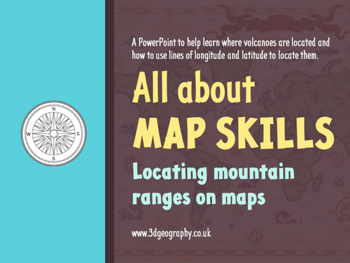
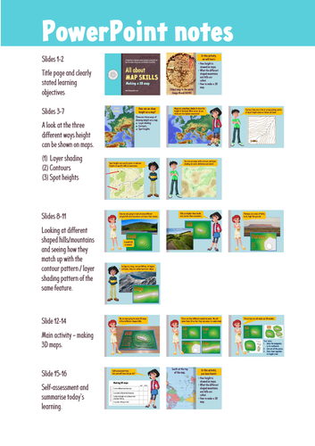
PowerPoints
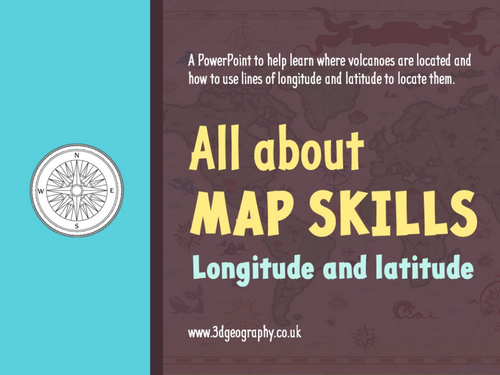
- Using longitude and latitude
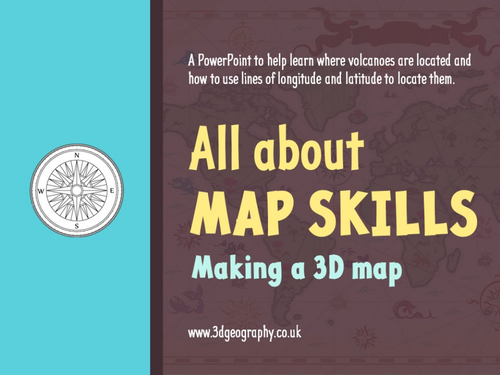
- Making 3D maps
- Locating mountain ranges on maps
Map quiz
This map quiz comes complete with an answer key and it is aimed at pupils in the 2nd, or 3rd grade. It covers the following map skills:
• Using directions
• knowledge of continents
• Map symbols
• Following routes on maps
• Measuring distances on maps
• Grid references
• Interpreting aerial photographs.
Map posters and word for word wall. Posters include:
• Compass
• Contours
• Key
• Layer shading
• Longitude and latitude
• Scale bar
• Title page
Separate making 3D maps Pack
• 4 templates for making 3D maps
Something went wrong, please try again later.
This resource hasn't been reviewed yet
To ensure quality for our reviews, only customers who have purchased this resource can review it
Report this resourceto let us know if it violates our terms and conditions.
Our customer service team will review your report and will be in touch.
£20.00