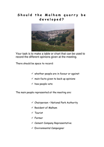
All resources for a role play about whether a limestone quarry should be developed in Malham. All roles, writing frame, sample speeches and record sheet provided. I use this as an assessment and the students really enjoy it!
Comments please
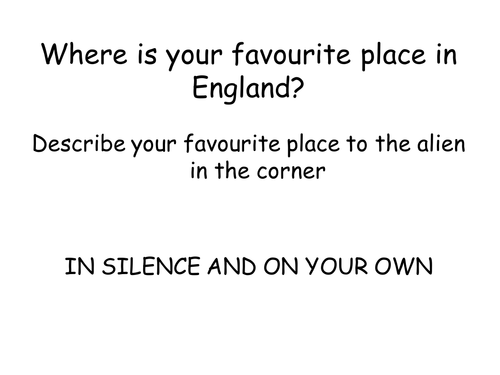
Uses images of England to encourage students to consider what England is like, includes plenary game 'A question of England'. Worksheet uses bi-polar analysis to investigate secondary images. Constructive comments please
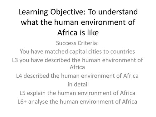
10 photographs showing capital cities of Africa and outline maps, works well if they are laminated and cut up in envelopes. Student use a map of Africa to match cities to countries before considering whether they are rich cities, poor cities and/or attractive to tourists. Comments appreciated please.
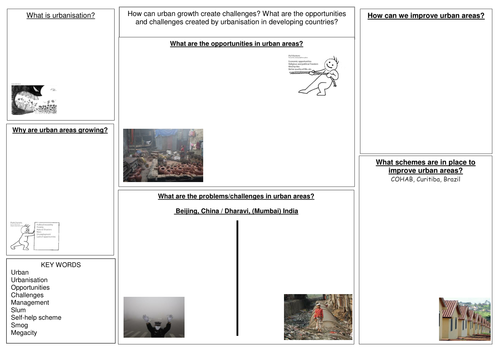
A revision booklet for Urban (Unit 1) that follows the AQA Geography B textbook. Also sheets that can be copied onto A3 for revision in class or at home.
Uses worldmapper to consider countries with poor sanitation and water quality. Suggest split group into two families to work out which countries/regions firstly have best sanitation and secondly poorest water quality. Makes noises like Family Fortunes,but you will need a copy of the answers for your own information.
Feedback appreciated, thank you
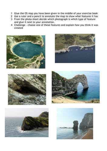
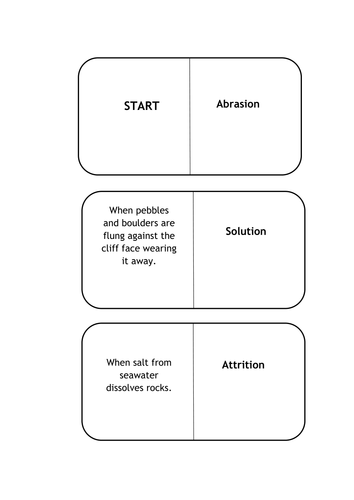
Uses an OS map of Dorset for students to locate coastal features. After watching the short video, students identify coastal features (to ensure that they know which is which there is a matching activity). Students then glue in the OS map of Lulworth Cove area and match photographs to the map. They can choose one feature and explain how it was formed as an extension. Our school is on the coast so you may need to adapt some activities to wherever you are in the country.
Please leave a review.
Following lessons on erosion and weathering, and coastal landforms and before an assessment, students wrote scripts about the formation of stacks and stumps. They then used playdoh to make models, which they filmed using start stop animation to make movies. The results were amazing (and their understanding really thorough!).
Uses the case study of Ventnor on the Isle of Wight to develop an understanding of the different methods of hard engineering, with exam question plenary from AQA Geography B.
A guide for students to use GIS to reseach Historic Hurricanes and accompanying PowerPoint. Task, for them to work in pairs to prepare a PowerPoint that uses GIS and explains why GIS is important in the preparation for Tropical Storms
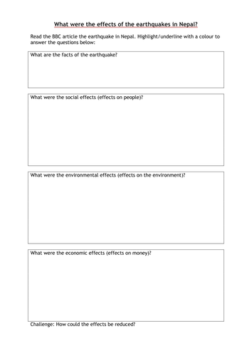
Two lessons to encourage students to make comparisons between earthquakes - one in an LEDC and one in an MEDC. Start by with a quiz to identify Nepal, followed with an annotated photograph and DARTs activity. Then using San Francisco 1989 (or choose a different one. I wanted a lot of damage but significantly lower death toll and different effects e.g. fires). Starter - half class answer questions about San Francisco photo and half (including any absentees) look at Nepal. Students then complete an extended answering (using Point, Evidence, Explanation structure) to explain why the effects of earthquakes vary between countries - could use it as an assessment?
Please leave a review
Students choose one of six locations in Europe for a holiday. They have to plan and write a postcard to say where they chose; what the weather and climate is like; why they went there and how climate influences what they can do.
As part of our Drop Everything and Read Day on Harry Potter I decided that a habitat study using 'Fantastic Beasts and Where to find them&' (and a lot of imagination) was a tongue in cheek way of getting some Geography in whilst still meeting the brief! You&';ll need a copy of the book to give the children extracts of various creatures.
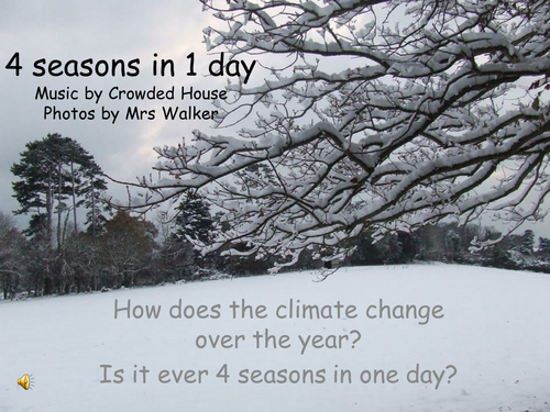
I had so many photos of the seasons I decided to use them. Encourages the children to think about the seasons in the UK and how they change. It's worth getting them to realise that not all countries have 4 distinct seasons. Perhaps a nice homework to get them to find out about seasons in other countries?
An introduction to Geography for Year 7 - students are introduced to the concept of human and physical geography, using photos around our school (you could substitute your own). Students then divide a page in half and draw examples of human and physical geography. A nice early lesson with a pleasing outcome.