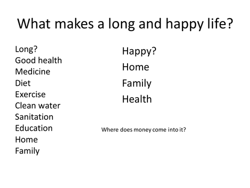
Any good atlas will have statistics in it about population, birth rate, death rate etc. Starter - what makes a long and happy life? Plenary - Play Your Life Expectancy Right - game using data on Life Expectancy, will it be Higher or Lower. My Year 8's love this!
Links with my other resources on population
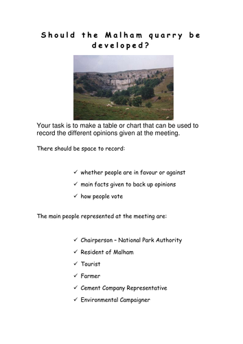
All resources for a role play about whether a limestone quarry should be developed in Malham. All roles, writing frame, sample speeches and record sheet provided. I use this as an assessment and the students really enjoy it!
Comments please
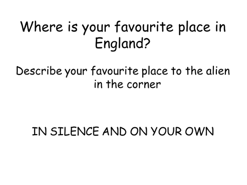
Uses images of England to encourage students to consider what England is like, includes plenary game 'A question of England'. Worksheet uses bi-polar analysis to investigate secondary images. Constructive comments please
10 photographs showing capital cities of Africa and outline maps, works well if they are laminated and cut up in envelopes. Student use a map of Africa to match cities to countries before considering whether they are rich cities, poor cities and/or attractive to tourists. Comments appreciated please.
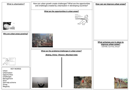
A revision booklet for Urban (Unit 1) that follows the AQA Geography B textbook. Also sheets that can be copied onto A3 for revision in class or at home.
Uses the format of a recipe to encourage children to think about what makes a perfect Christmas, includes my suggestions, but open to being extended. Surprising how many children forget Christmas is a religious festival!
Uses worldmapper to consider countries with poor sanitation and water quality. Suggest split group into two families to work out which countries/regions firstly have best sanitation and secondly poorest water quality. Makes noises like Family Fortunes,but you will need a copy of the answers for your own information.
Feedback appreciated, thank you
Uses the Top Trump format to get children to make cards about Christmas. I tend to encourage a range of secular and religious figures - and a range of categories; present giving powers, ability to fly and relevance in the Christmas story
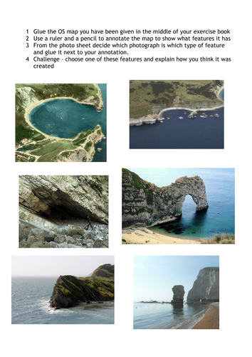
Uses an OS map of Dorset for students to locate coastal features. After watching the short video, students identify coastal features (to ensure that they know which is which there is a matching activity). Students then glue in the OS map of Lulworth Cove area and match photographs to the map. They can choose one feature and explain how it was formed as an extension. Our school is on the coast so you may need to adapt some activities to wherever you are in the country.
Please leave a review.
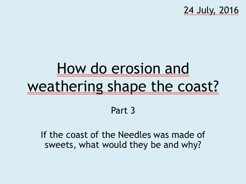
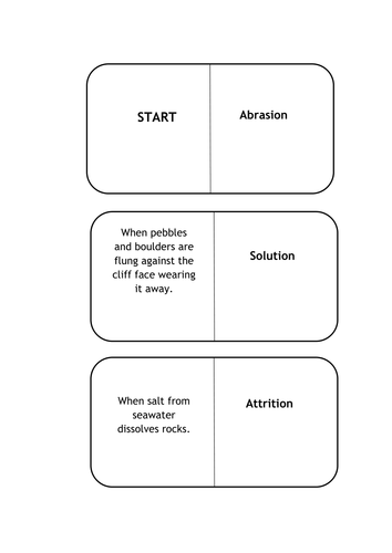
Following lessons on erosion and weathering, and coastal landforms and before an assessment, students wrote scripts about the formation of stacks and stumps. They then used playdoh to make models, which they filmed using start stop animation to make movies. The results were amazing (and their understanding really thorough!).
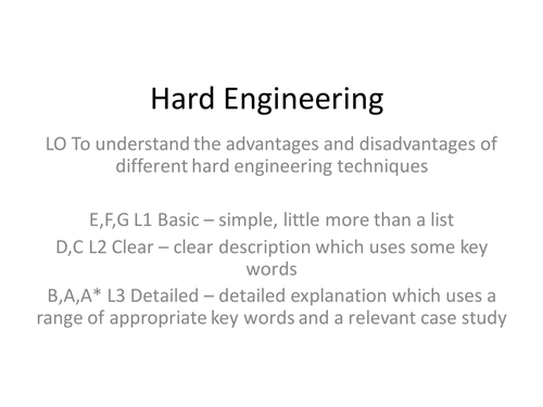
Uses the case study of Ventnor on the Isle of Wight to develop an understanding of the different methods of hard engineering, with exam question plenary from AQA Geography B.
A guide for students to use GIS to reseach Historic Hurricanes and accompanying PowerPoint. Task, for them to work in pairs to prepare a PowerPoint that uses GIS and explains why GIS is important in the preparation for Tropical Storms
Starter of logos from Japanese companies. How did Japan become a rich country? Why has it slipped from 2nd to 3rd richest in the world? Article looks at who Japan exports to, who it imports from and some of what it imports and exports. Activities include graphs and comprehension, cloze passage for SEN students. Suggest you use my Crib Sheets for Success Criteria for graphs - see TES resources.
Sheets need to be cut up and put into numbered envelopes. Students work in groups and are assigned a number. They take one card, and using the information sheet find out the answer. When they have checked their answer and are right, they can take another card. When students have all cards, they sort them into human or physical