Bundle
 Quick View
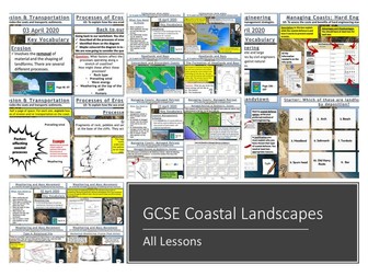
AQA GCSE Geography Coasts: All Lessons
A bundle of all my coasts lessons prepared for the AQA specification, but still useful for other specifications.
Lesson titles in order are:
Types of Waves
Weathering and Mass Movement
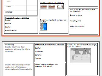
Processes of Erosion and Transportation
Headlands and Bays
Wave Cut-Notches & Platforms, Stacks, Stumps and Arches
Longshore Drift and Deposition
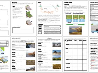
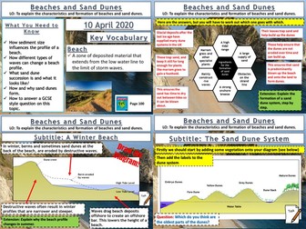
Beaches and Sand Dunes
Spits and Bars
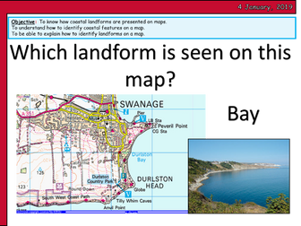
Coastal Landforms at Swanage
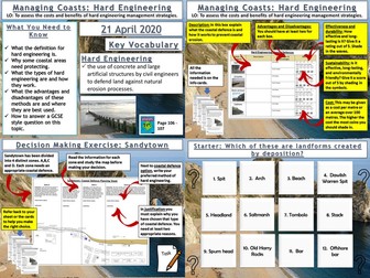
Hard Engineering
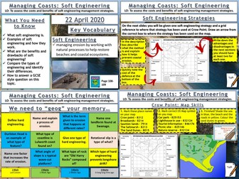
Soft Engineering
Managed Retreat
Coastal Management at Lyme Regis
https://www.tes.com/teaching-resources/shop/markthegeographer

![[NOTES] Coasts - AQA Geography](https://l.imgt.es/resource-preview-imgs/9ccd8a44-0903-415e-858e-13f0a893d1a8%2FScreenshot20260201205426.crop_672x504_28%2C0.preview.png?profile=res-img-med-legacy-v2)