


Live earthquake data investigation using real USGS events, plate boundaries and depth to uncover global tectonic patterns.
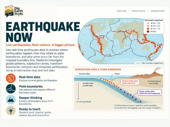
Students use the free Earthquake Now interactive from Dig Earth Studio to investigate whether earthquakes are randomly distributed around Earth.
They begin with plate boundaries hidden and identify earthquake belts, arcs and clusters from the live data. Students then reveal the mapped plate boundaries, compare different tectonic settings and use earthquake depth to explore the three-dimensional structure of subduction zones.
The activity also tackles an important misconception: a mapped plate-boundary line is only a simplified surface representation. Earthquakes can occur far from that line and still be related to the same plate-boundary system, especially where a slab descends beneath another plate.
Students finish by investigating real events from the current dataset and building a scientific claim supported by evidence.
Includes:
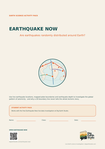
Student Activity Pack
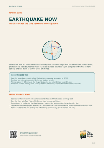
Teacher Guide
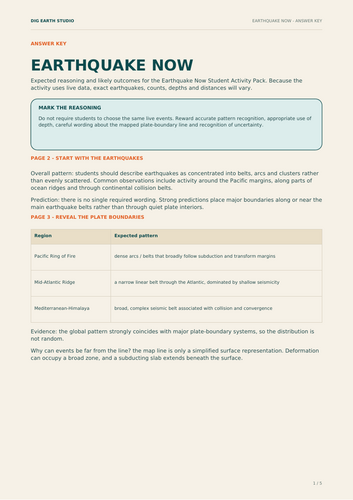
Answer Key
Free online Earthquake Now interactive
Suitable for secondary / middle-school Earth science, geography and geology. Approx. 45–60 minutes, with scope for extension. Requires internet access.
Something went wrong, please try again later.
This resource hasn't been reviewed yet
To ensure quality for our reviews, only customers who have purchased this resource can review it
Report this resourceto let us know if it violates our terms and conditions.
Our customer service team will review your report and will be in touch.
£3.49