

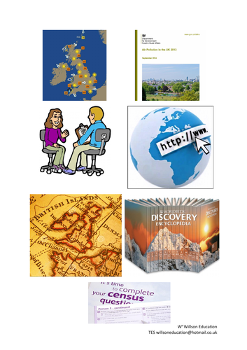

This booklet introduces the students to why we carry out fieldwork within Geography for coursework or class investigations, and the types and uses of data sources. Four and six figure grid references are explained and practised alongside learning OS map symbols. Environmental surveys are carried out within their learning surroundings, with their positive and negative aspects being discussed.
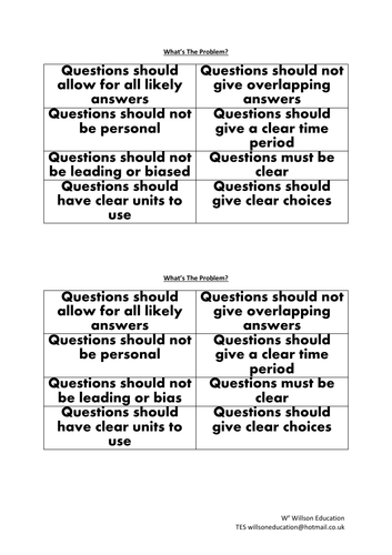
The students practice drawing their own field sketches having discussed the “Do’s” and “Don’ts” of these and carry out a practical using quadrats in which they build their bar graph skills by presenting their results. Measuring litter gives the students the opportunity to survey their school grounds and progress their pie graph skills and draw conclusions from their results. The booklet concludes with a discussion of appropriate and suitable questions for questionnaires.
A range of individual and group activities are incorporated within this booklet, including, gathering research from print and in person, drawing graphs and annotating the data, as well as discussing the pros and cons of each technique and how some of these can be overcome or restricted.
Please like and follow us on Facebook @WillsonEducation or Pinterest @willsoned for more exciting resources, activities, and upcoming events to incorporate into your lessons.
Something went wrong, please try again later.
This resource hasn't been reviewed yet
To ensure quality for our reviews, only customers who have purchased this resource can review it
Report this resourceto let us know if it violates our terms and conditions.
Our customer service team will review your report and will be in touch.
$10.00