
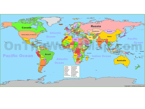
A very quick worksheet on a powerpoint that printed in A3 will allow children to map the 32 participating countries - there is a key at the bottom with numbers so children can colour in the country and instead of writing its long name, just number it.
powerpoint can be used as lesson starter as all countries are listed again there (with their flags) and a political world map is attached for explaining how to map. Enjoy/
Something went wrong, please try again later.
This resource hasn't been reviewed yet
To ensure quality for our reviews, only customers who have downloaded this resource can review it
Report this resourceto let us know if it violates our terms and conditions.
Our customer service team will review your report and will be in touch.
£0.00