
- AQA Specification
- Geographical skills
- For use with KS3 and KS4 (Yr9 and 10), but could be adapted for younger years
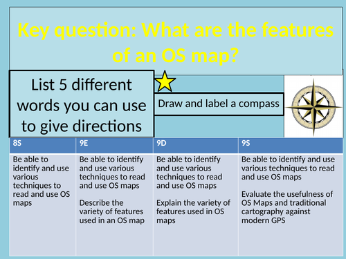
- Introduction to basic cartographical skills (grid references, OS symbols, contour lines etc)
- Questions levelled for different abilities. “Star Challenges” for “Stretch and Challenge”
- OS maps are in reference to Corby but could be adapted to local area for increased engagement
- Videos embedded but can be located on Youtube
LINK TO OS SYMBOLS CARDS : https://www.ordnancesurvey.co.uk/docs/teaching-resources/25k-map-symbol-flashcards.pdf
- FORTNITE/MONOPOLY summary ; Make a map using all the skills developed in lessons. Tested it out with our Year 9 classes and they LOVED it!
(Creators - Mr Jonathon Chew and Miss Jennifer McDougall)
Something went wrong, please try again later.
This resource hasn't been reviewed yet
To ensure quality for our reviews, only customers who have downloaded this resource can review it
Report this resourceto let us know if it violates our terms and conditions.
Our customer service team will review your report and will be in touch.
£0.00