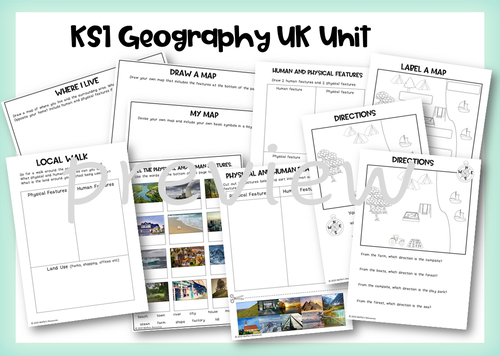


Geography activities for year 1 and year 2. Teaching Power Point and print and go activities to teach The UK unit in KS1.
**This product includes: ** Planning and resources for 2 weeks worth of lessons.
A power point for each lesson, plus an end of lesson quiz.
Printable activities for each lesson.
Lesson 1
Name and locate the 7 continents and 5 oceans
Choice of 4 worksheets
Lesson 2
Name, locate and identify characteristics of the 4 UK countries and capital cities
Activities - Colour UK Countries, label capital cities, label seas and oceans, UK landmarks cut and stick
Lesson 3
Use basic geographical language
Match words and pictures
Label the locations
Geographical questions
Lesson 4 and 5
Identify physical and human features
Local walk worksheet, Where I live, Draw a map, draw/label/sort physical and human features.
Lesson 6
Use simple compass directions
Label a map, directions, my school
Lesson 7
Understand geographical differences and similarities
Compare locations, compare countries,
Lesson 8
Identify daily and seasonal weather patterns in the UK
Daily weather charts
Seasonal sorting
Lesson 9
Identify hot and cold areas of the world
Hot and cold climates of the world sorting
Lesson 10
Assessment Quiz
Get this resource as part of a bundle and save up to 26%
A bundle is a package of resources grouped together to teach a particular topic, or a series of lessons, in one place.
Something went wrong, please try again later.
This resource hasn't been reviewed yet
To ensure quality for our reviews, only customers who have purchased this resource can review it
Report this resourceto let us know if it violates our terms and conditions.
Our customer service team will review your report and will be in touch.