


Attached are 5 lessons based on using map skills and linking them to the Industrial Revolution. These have been written with Year 5/6 in mind but are easily adaptable.
Included are the slides, resources and differentiated lesson plans.
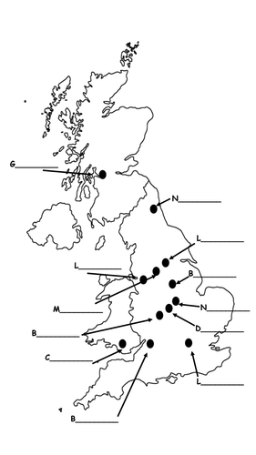
Lesson 1 - Identifying UK cities on a map
Lesson 2 - Identifying rivers in the UK
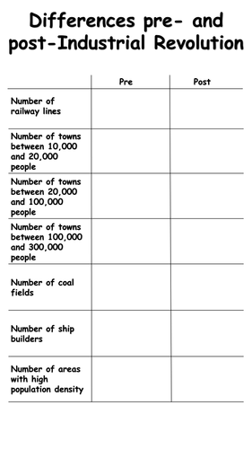
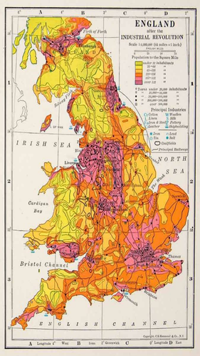
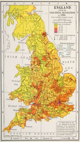
Lesson 3 - Identifying how the UK changed during the Industrial Revolution
Lesson 4 - Identifying the Luddites area of operations
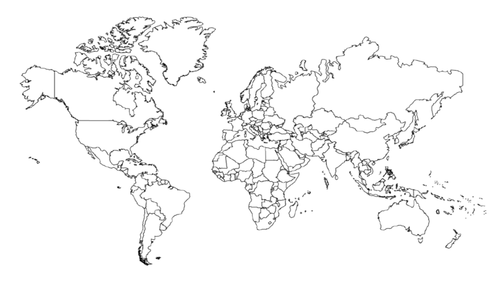
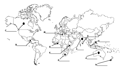
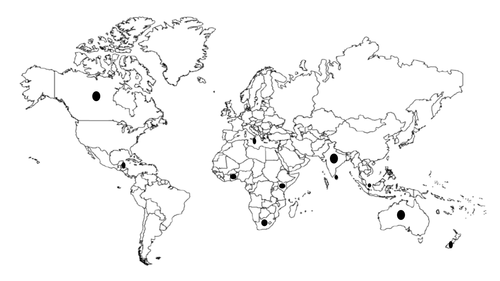
Lesson 5 - British Empire during the period and identifying countries around the world
N.B. You will need atlases for the general atlas activities.
Included are the slides, resources and differentiated lesson plans.
Lesson 1 - Identifying UK cities on a map
Lesson 2 - Identifying rivers in the UK
Lesson 3 - Identifying how the UK changed during the Industrial Revolution
Lesson 4 - Identifying the Luddites area of operations
Lesson 5 - British Empire during the period and identifying countries around the world
N.B. You will need atlases for the general atlas activities.
Get this resource as part of a bundle and save up to 80%
A bundle is a package of resources grouped together to teach a particular topic, or a series of lessons, in one place.
Something went wrong, please try again later.
Is there a way to have access to the slides without the use of notebook? Otherwise an absolutely great resource!
Thank you for sharing this resource, some really great ideas.
Exactly what I was looking for - thanks!
Report this resourceto let us know if it violates our terms and conditions.
Our customer service team will review your report and will be in touch.
£0.00