

Resources for teaching map skills to year 7 covering a range of skills
Activities have been collated from a variety of free resources over the years - I'm sharing this SoW to help others with planning and resourcing. If there is work of yours I will happily credit it in the resource description, just let me know.
Topics covered
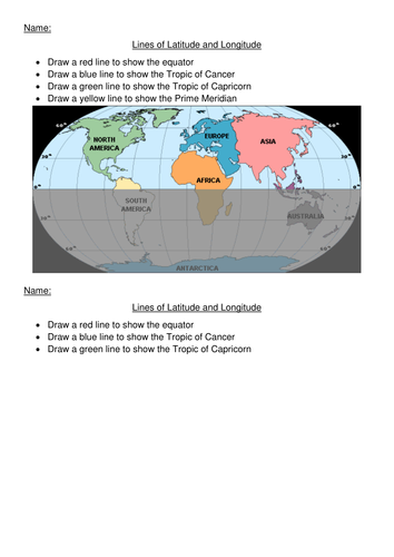
Longitude and latitude
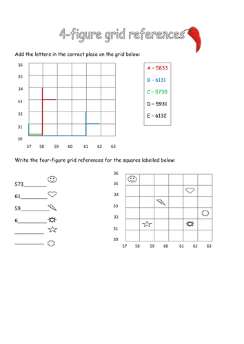
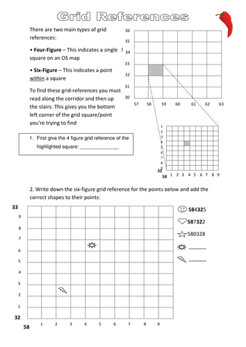
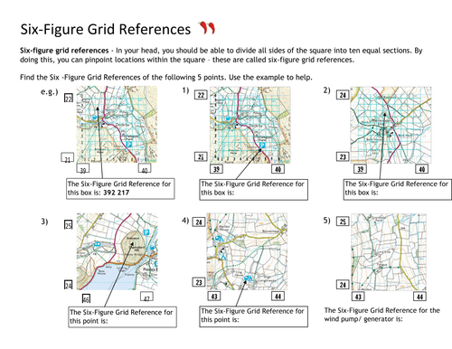
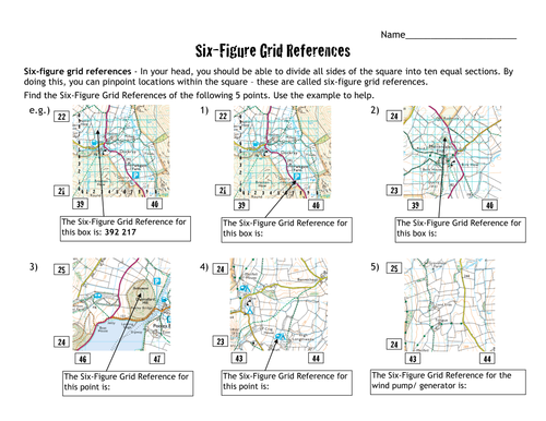
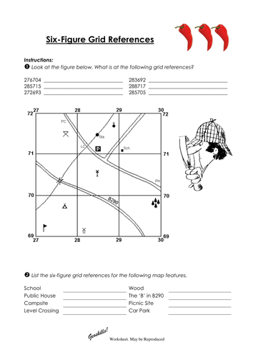
4 and 6 figure grid references (some resources adapted from https://www.tes.com/teaching-resource/4-and-6-figure-grid-references-6373196)
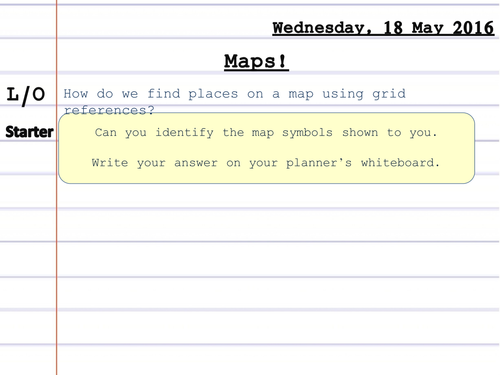
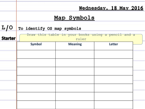
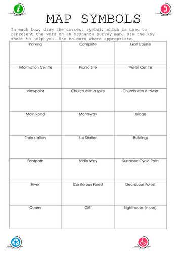
Map symbols
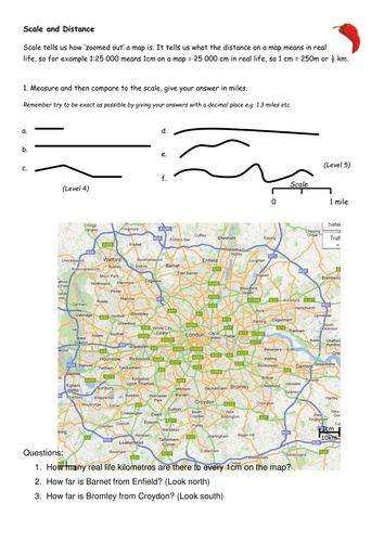
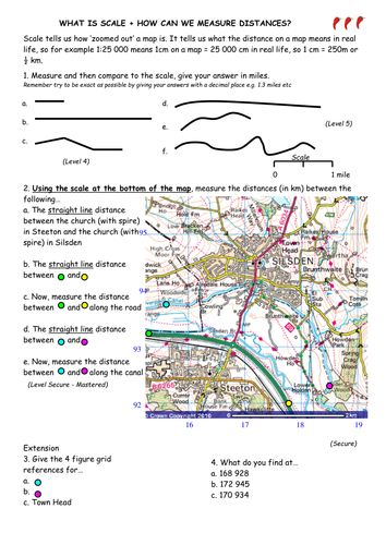
Scale (some resources adapted https://www.tes.com/teaching-resource/what-is-scale-6169040 and https://www.tes.com/teaching-resource/scale-drawing-and-maps-6280918)
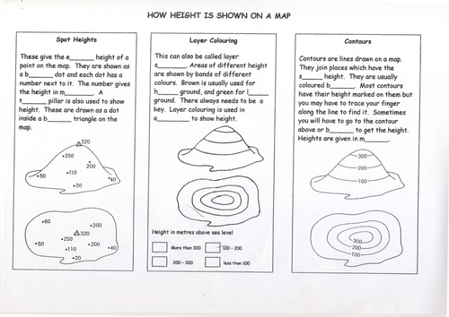
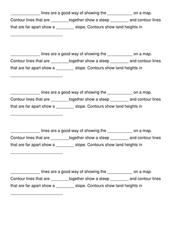
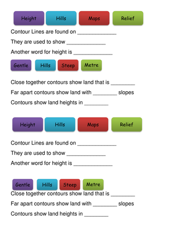
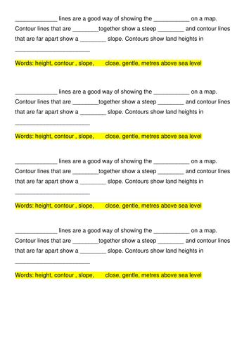
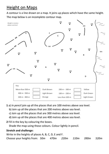
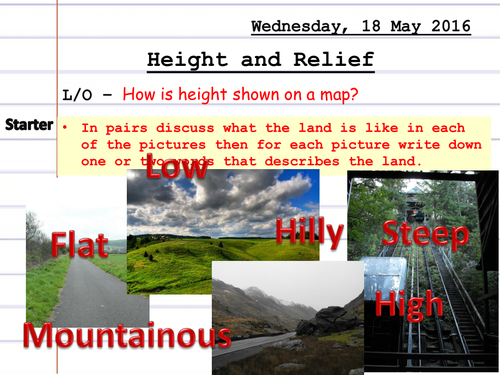
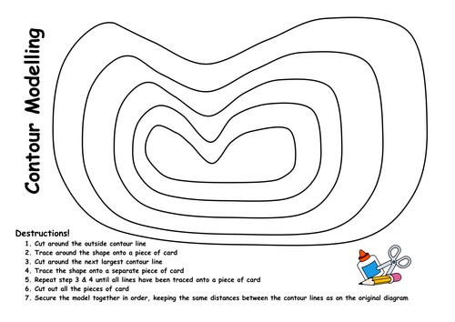
Height
Activities have been collated from a variety of free resources over the years - I'm sharing this SoW to help others with planning and resourcing. If there is work of yours I will happily credit it in the resource description, just let me know.
Topics covered
Longitude and latitude
4 and 6 figure grid references (some resources adapted from https://www.tes.com/teaching-resource/4-and-6-figure-grid-references-6373196)
Map symbols
Scale (some resources adapted https://www.tes.com/teaching-resource/what-is-scale-6169040 and https://www.tes.com/teaching-resource/scale-drawing-and-maps-6280918)
Height
Something went wrong, please try again later.
Great to help me. Thank you.
Thank you! Ideal for Year 7!
A full unit planned! Thank you :)
Full of resources but not wholly accurate, Europe coloured blue does not include Saudi Arabia and Turkey, etc.
Report this resourceto let us know if it violates our terms and conditions.
Our customer service team will review your report and will be in touch.
£0.00