

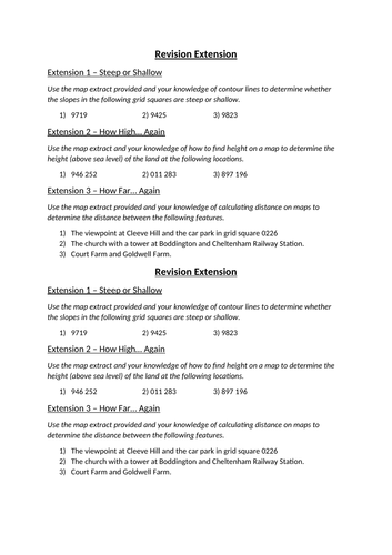
This combination of worksheets provides a complete overview of a typical KS3 map skills unit, encompassing work on topics such as four and six figure grid references, calculating height on a map and calculating distance on a map, subsequently providing a perfect end of unit revision resource.
*For full completion these resources do require access to the Cheltenham 1:50,000 Ordance Survey map extract. A full lesson including Presentation and Starter Activity is also available.
Something went wrong, please try again later.
This resource hasn't been reviewed yet
To ensure quality for our reviews, only customers who have purchased this resource can review it
Report this resourceto let us know if it violates our terms and conditions.
Our customer service team will review your report and will be in touch.
£1.00