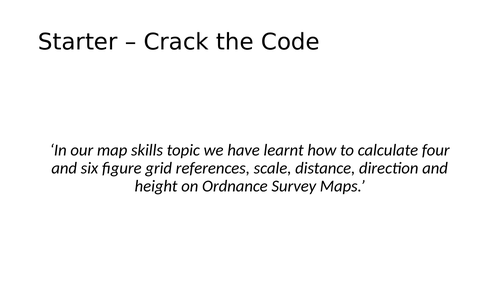

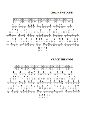
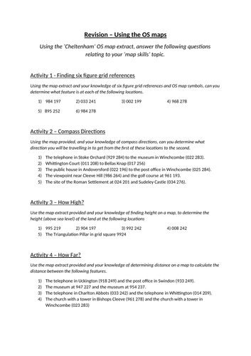
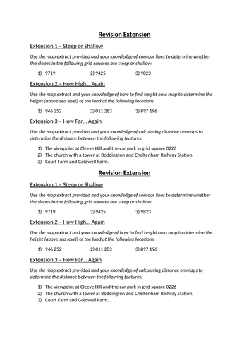
This lesson incorporates all aspects of a typical KS3 map skills topic such as four and six figure grid references, height, and distance making for a perfect end of unit revision lesson.
This lesson includes all required resources including a starter activity, main revision task, extension activity and a handy answers sheet for the teacher.
*for full completion this lesson will require access to the Cheltenham 1:50,000 Ordnance Survey map extract. The main revision activity sheet and extension sheet are also available at a reduced price.
Something went wrong, please try again later.
This resource hasn't been reviewed yet
To ensure quality for our reviews, only customers who have purchased this resource can review it
Report this resourceto let us know if it violates our terms and conditions.
Our customer service team will review your report and will be in touch.
£1.40