


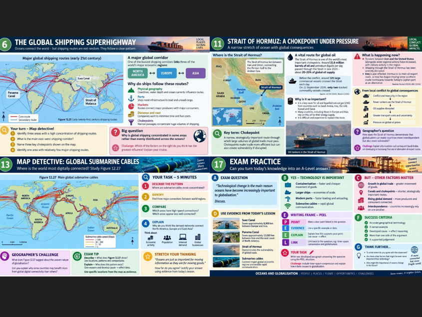
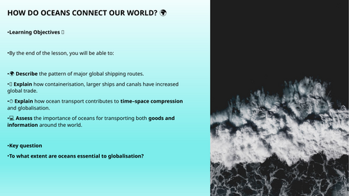
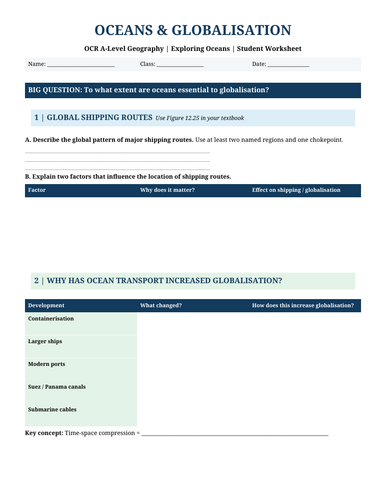
A fully resourced and engaging OCR A-Level Geography: Exploring Oceans lesson examining how oceans have influenced and enabled globalisation. Students investigate global shipping routes, containerisation, increasing ship size, major ports, the Suez and Panama Canals, submarine cables and time-space compression, before applying their understanding to the contemporary Strait of Hormuz oil chokepoint case study. The lesson combines map interpretation, geographical questioning, current real-world examples, structured discussion and OCR-style exam practice, with plenty of opportunities for challenge and evaluation. Includes a visually engaging PowerPoint and accompanying student worksheet, with activities linked directly to key geographical concepts and Figures 12.25 and 12.27. Ideal for delivering as a complete lesson or supporting revision of globalisation, interdependence and ocean connectivity.
Get this resource as part of a bundle and save up to 43%
A bundle is a package of resources grouped together to teach a particular topic, or a series of lessons, in one place.
Something went wrong, please try again later.
This resource hasn't been reviewed yet
To ensure quality for our reviews, only customers who have purchased this resource can review it
Report this resourceto let us know if it violates our terms and conditions.
Our customer service team will review your report and will be in touch.
£1.75