
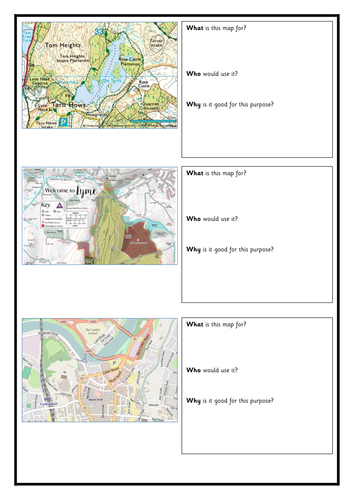
- Contains a starter activity in which three different sorts of maps are compared for their different audiences and uses
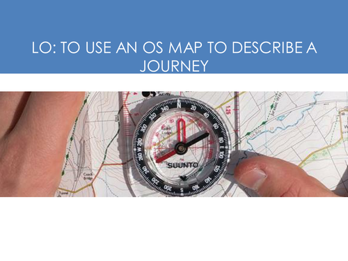
- Powerpoint outlines the lesson plan and activities. Explains the role of contour lines.
- Main activity: use a map of Tarn Hows to describe a mapped route, and create a piece of descriptive writing.
- Powerpoint outlines the lesson plan and activities. Explains the role of contour lines.
- Main activity: use a map of Tarn Hows to describe a mapped route, and create a piece of descriptive writing.
Something went wrong, please try again later.
This resource hasn't been reviewed yet
To ensure quality for our reviews, only customers who have purchased this resource can review it
Report this resourceto let us know if it violates our terms and conditions.
Our customer service team will review your report and will be in touch.
£1.70