


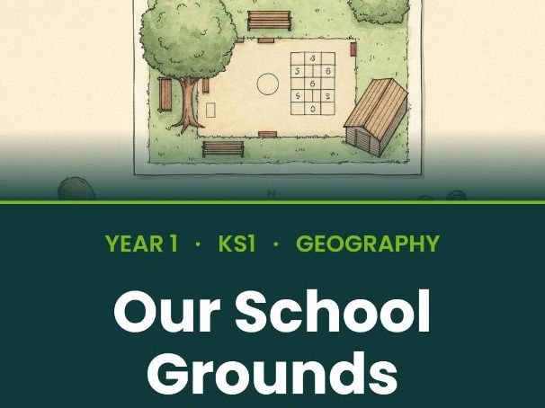

A no-prep, 5-lesson geography unit on Geographical skills and fieldwork: Our School Grounds. Written for Year 1 (ages 5-6). Pick it up at lunchtime, teach it that afternoon — every lesson has a full teacher plan, projectable slides, two differentiated pupil worksheets, and an exit ticket.
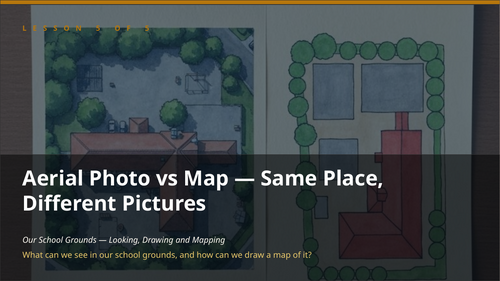
Driving question: What can we see in our school grounds, and how can we draw a map of it?
What’s included- 5 × Teacher lesson plans (Word, fully scripted)
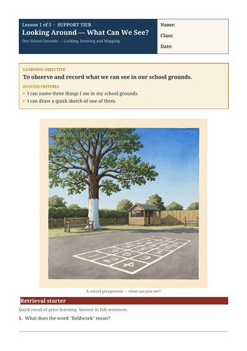
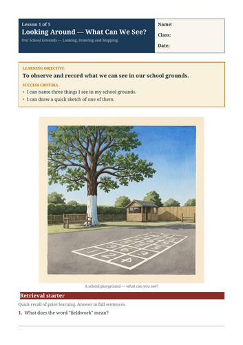
- 5 × Pupil worksheets in 2 differentiated tiers (Support / Core)
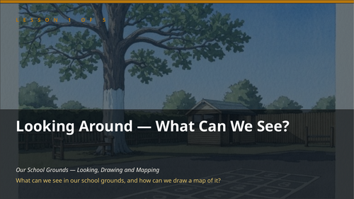
- 5 × Projectable slide decks (PowerPoint, 16:9 widescreen)
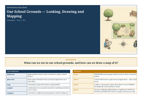
- 1 × Knowledge Organiser (Word, A4 landscape)
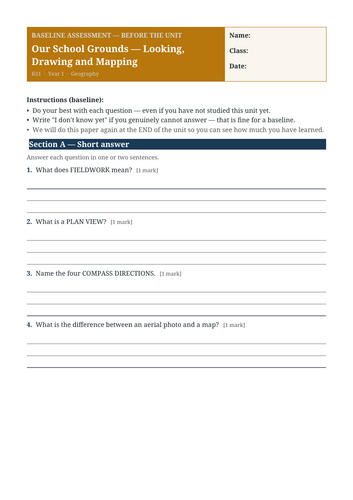
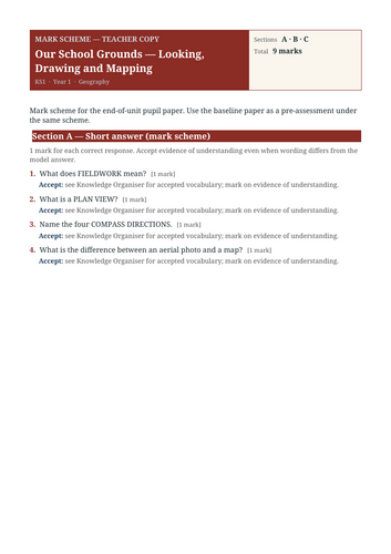
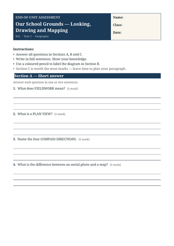
- 1 × End-of-unit assessment with baseline + mark scheme
- Factually-accurate maps rendered from public-domain Natural Earth data — not AI-generated
- Hand-coded diagrams for the unit’s key processes and labelled features — never AI-generated
- Original illustrations for every lesson hook and teaching scene
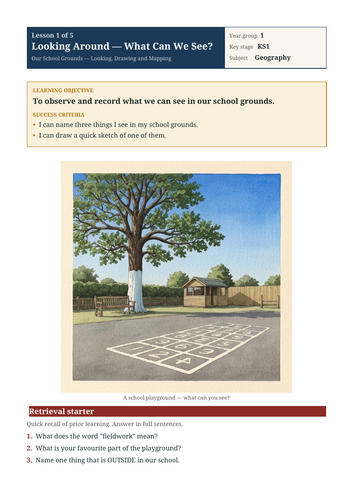
- Looking Around — What Can We See? — To observe and record what we can see in our school grounds.
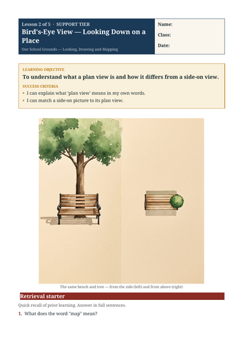
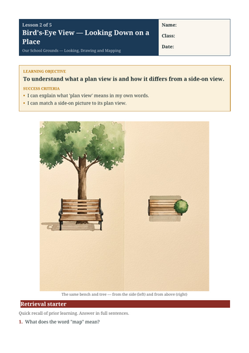
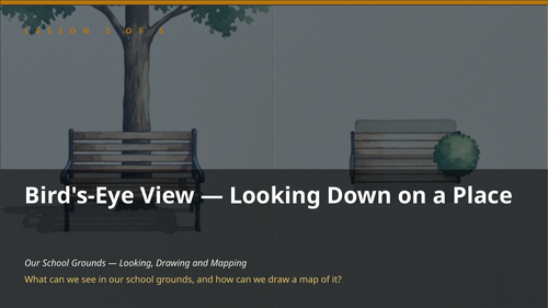
- Bird’s-Eye View — Looking Down on a Place — To understand what a plan view is and how it differs from a side-on view.
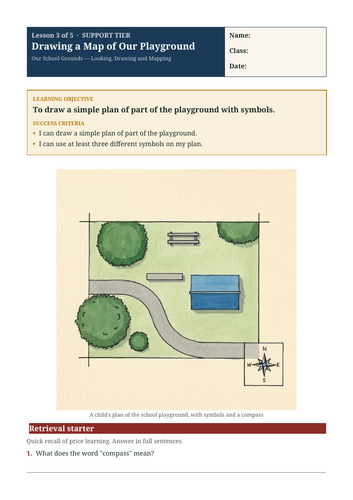
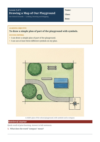
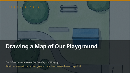
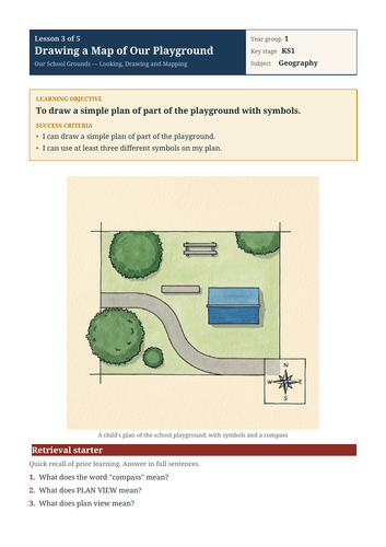
- Drawing a Map of Our Playground — To draw a simple plan of part of the playground with symbols.
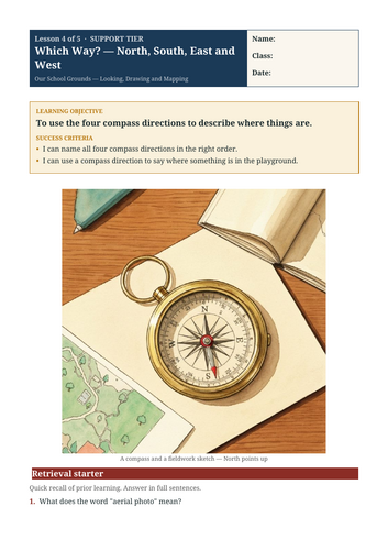
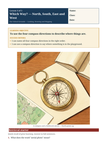
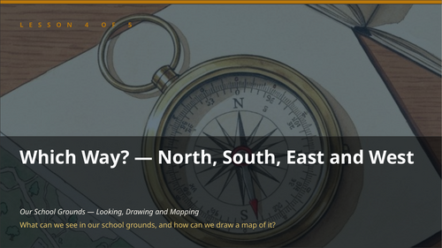
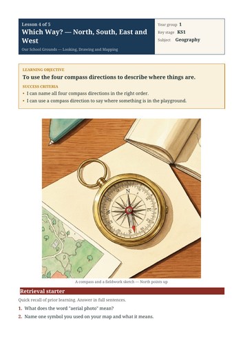
- Which Way? — North, South, East and West — To use the four compass directions to describe where things are.
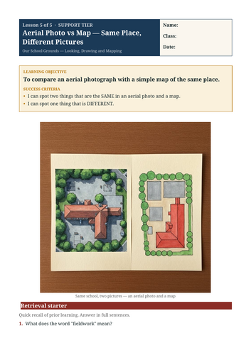
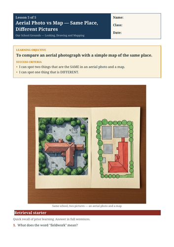
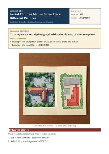
- Aerial Photo vs Map — Same Place, Different Pictures — To compare an aerial photograph with a simple map of the same place.
Something went wrong, please try again later.
This resource hasn't been reviewed yet
To ensure quality for our reviews, only customers who have purchased this resource can review it
Report this resourceto let us know if it violates our terms and conditions.
Our customer service team will review your report and will be in touch.
£9.99