


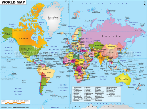
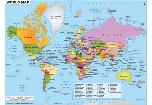
Take your students on a mathematical journey around the world (or across a fictional map) with this engaging and practical map skills investigation.
Students plan a route visiting ten destinations shown on a map before using rulers and map scales to measure and convert distances into real-life values. They then apply mathematical reasoning to calculate travel times and determine bearings between locations, developing confidence with key geography and numeracy skills.
The activity encourages problem-solving, accuracy and independent thinking as students create and justify their own travel route. A structured extension task adds a creative twist, challenging learners to write a travel diary or adventure narrative that incorporates all of the mathematical information they have calculated, including distances, travel times and bearings.
Skills covered:
Measuring distances on maps
Using and interpreting scales
Converting map measurements to real-world distances
Calculating travel times
Finding and using bearings
Problem-solving and mathematical reasoning
Cross-curricular literacy and creative writing
Ideal for: KS3 Maths, Geography, cover lessons, enrichment activities, project work or end-of-unit investigations.
A highly engaging real-world task that combines mathematics, geography and literacy in one memorable lesson.
Something went wrong, please try again later.
This resource hasn't been reviewed yet
To ensure quality for our reviews, only customers who have purchased this resource can review it
Report this resourceto let us know if it violates our terms and conditions.
Our customer service team will review your report and will be in touch.
£1.00