
A cross-curricular activity that combines map skills, digital literacy, and local history through the story of St Patrick. Pupils use iPads to explore real-world locations linked to St Patrick’s life, calculate travel times, and compare elevations — all while practising research and reasoning skills.
Includes:
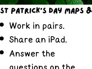
1-page printable activity sheet
Questions linked to Croagh Patrick and Slemish
Tasks involving Safari and Maps apps
Real-life context for measures and geography
Skills Covered:
Using digital maps and search tools
Understanding elevation and distance
Estimating travel time by car and on foot
Learning about St Patrick’s life and legacy
**Perfect for: **
- NI - World Around Us / Geography
- St Patrick’s Day
- ICT
- Paired work and collaborative tasks
Something went wrong, please try again later.
This resource hasn't been reviewed yet
To ensure quality for our reviews, only customers who have purchased this resource can review it
Report this resourceto let us know if it violates our terms and conditions.
Our customer service team will review your report and will be in touch.
£2.00