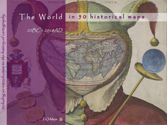

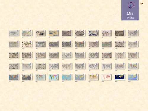
This world atlas comprises 50 carefully selected world maps plus a description of their makers. Furthermore it includes a comprehensive insight in the history of cartography and how and why maps are/were made. The e-atlas shows how the world has changed through time and how map making techniques have evolved. Each era is represented by a number of maps drawn by the most famous (European) cartographers of their time. From early classical & medieval maps, via maps of 16th/17th century atlases (Golden Age of Cartography), to contemporary computer-generated images.
Besides this world atlas, e-atlases of the 6 continents and separate e-atlases of more than 50 countries, distributed all over the world, are currently available. The provided e-atlases are not meant to replace the traditional printed atlases but are an addition and offer extra functionality (e.g. zooming in on geographic features). They can be downloaded as PDF-files; the files can be viewed using Acrobat Reader (version 10 or higher) and compatible applications.
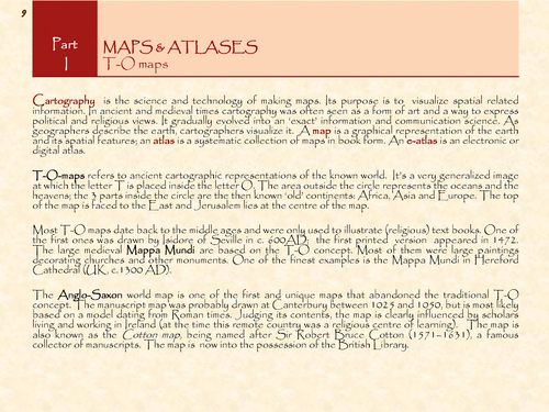
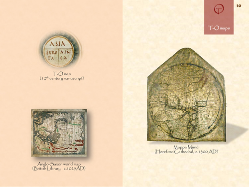
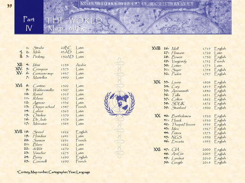
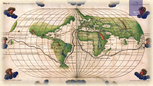
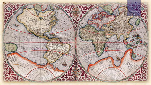
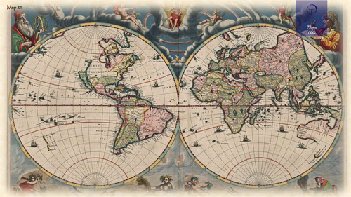
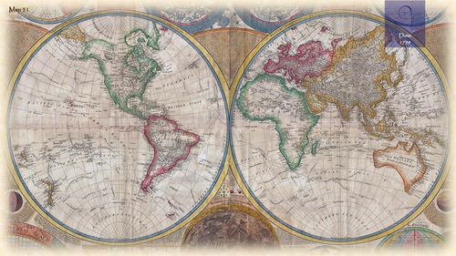
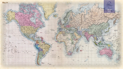
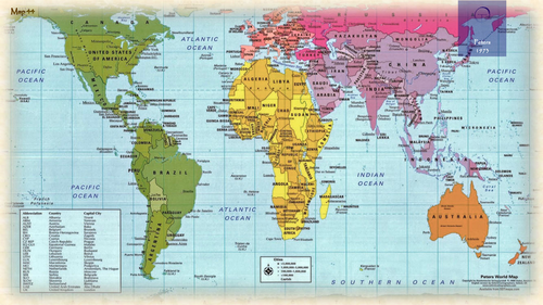
Each historical e-atlas is composed of 4 sections. The first 3 sections describe the history of cartography and map making techniques in general. In the 4th or major section (Country maps and their Makers) the history of a specific country is visualized via a range of maps from important mapmakers in different era’s. The document is made up of duo pages; the right page displays the map of a given period, the left page contains text describing its creator and other details. Each atlas also includes an Appendix which contains a selection of common Latin terms that are used on ancient maps.
The historical e-atlases are suitable for reading and presentation purposes (in classrooms). The maps and their descriptions can be studied and printed at home or school. The main group of potential users are teachers and students in geography and history. Moreover, the atlases are useful to anyone who is interested in old maps of his/hers native or ancestors country.
For more (background) information please refer to the author’s Blogspot:
https://tomaps20.blogspot.com/
Something went wrong, please try again later.
This resource hasn't been reviewed yet
To ensure quality for our reviews, only customers who have purchased this resource can review it
Report this resourceto let us know if it violates our terms and conditions.
Our customer service team will review your report and will be in touch.
£5.00