

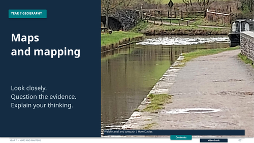

Year 7 Unit 2 Mapping and Mapwork Complete. A complete map skills presentation covering map development, scale, aerial photos, grid references, distance, Ordnance Survey maps, height and global location.
You receive one editable PowerPoint presentation with 98 slides. Some activities refer to a coursebook or additional classroom resources; those materials are not included. External video links require internet access.
Suggested age range: 11-12. Read the included tasks before teaching and adapt them to your class.
Something went wrong, please try again later.
This resource hasn't been reviewed yet
To ensure quality for our reviews, only customers who have purchased this resource can review it
Report this resourceto let us know if it violates our terms and conditions.
Our customer service team will review your report and will be in touch.
£15.00