
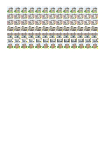
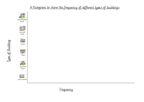
As part of a Year 3 Geography Topic on 'Our Local Area', I took my class on a walk around the local streets. Whilst walking, most children used a key to colour the buildings on a map, identifying the land use (e.g. commercial, residential, educational, recreational etc.). However, this wasn't suitable for the lower ability children in my class so I gave them pictures of different buildings and they had to tally how many of each type of building they saw. When they returned to class, they could then cut out pictures of the different buildings in order to make their own pictogram. These pictures and the pictogram template are included in this pack.
Something went wrong, please try again later.
This resource hasn't been reviewed yet
To ensure quality for our reviews, only customers who have purchased this resource can review it
Report this resourceto let us know if it violates our terms and conditions.
Our customer service team will review your report and will be in touch.
£2.00