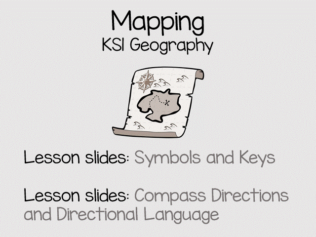


Geography skills for KS1. Included are two lesson slides aimed at introducing KS1 pupils to mapping.
Each set of slides include lots of questions which can be used by talk partners or whole class to aid students in developing their understanding and meeting the expectations of the National Curriculum.
Included:
Part one: understanding symbols and keys (18 page PDF)
Part two: understanding compass directions and using directional language (12 page PDF)
You might also be interested in these mapping worksheets:
https://www.tes.com/teaching-resource/resource-12537231
or this geography resource about islands:
https://www.tes.com/teaching-resource/islands-geography-for-ks1-12168489
Get this resource as part of a bundle and save up to 35%
A bundle is a package of resources grouped together to teach a particular topic, or a series of lessons, in one place.
Bundle
KS1 Geography Bundle: Map Skills, Continents,& Oceans, Human & Physical Features
Build strong geographical knowledge and map skills with this comprehensive KS1 Geography bundle. Covering the British Isles, continents and oceans, islands, human and physical features, and essential map skills, this pack provides everything needed to support engaging geography lessons throughout Key Stage 1. Perfect for classroom teaching, independent activities, displays, and retrieval practice, these resources help children develop geographical vocabulary, understand the world around them, and confidently use maps, symbols, keys, and compass directions. Bundle includes: British Isles for KS1 Geography Geography Vocabulary Display: Human and Physical Features Islands – Geography for KS1 Oceans of the World KS1 Geography Complete KS1 Map Skills Pack: Symbols, Keys & Compass Directions Maps Symbols and Keys Worksheets KS1 Continents & Oceans Knowledge Organisers KS1 Continents Clip cards Ideal for Year 1 and Year 2 teachers looking for a complete geography resource pack that supports the National Curriculum while saving valuable planning time.
£16.00
Bundle
Geography for KS1 mapping and islands
Here are 3 great resources for KS1 geography. They work on a variety of geography skills including understanding symbols and keys, directional language, use of maps and atlas, identifying the human and physical features of islands. There is also a printable display of islands from around the world for your geography working wall. Included is: **Islands Geography for ks1** What an island is lesson starter A worksheet differentiated 3 ways Human and physical features of islands lesson starter Pictures of various islands around the world for display **Mapping for KS1** Included are two lesson starters aimed at introducing KS1 pupils to mapping. Each lesson starter includes lots of questions which can be used by talk partners or whole class to aid students in developing their understanding. Part one: understanding symbols and keys (18 page PDF) Part two: understanding compass directions and using language (12 page PDF) **The British Isles for KS1** Included is a lesson starter (15 page PDF) aimed at using directional language to identify the location of various British Islands. There is a no prep challenge at the end for pupils to practice their directional language with a partner.
£6.00
Bundle
Mapping for KS1 Bundle
Two great geography resources: Mapping for KS1 includes two lesson slide presentations. One introduces pupils to symbols and keys and the other about using simple compass directions and directional language. Each contain lots of opportunities of pupils to talk and use their geography language. The second resources has worksheets for children to practice using symbols and keys. You might also be interested in: https://www.tes.com/teaching-resource/islands-geography-for-ks1-12168489
£4.50
Something went wrong, please try again later.
This resource hasn't been reviewed yet
To ensure quality for our reviews, only customers who have purchased this resource can review it
Report this resourceto let us know if it violates our terms and conditions.
Our customer service team will review your report and will be in touch.
£3.00