

Home Study 2020. Have you got an Atlas at home? All homes need an Atlas. This resource is ideal for doing work linked to pages from an Atlas.
All income from this resource in 2020 will go to Homeless charities.
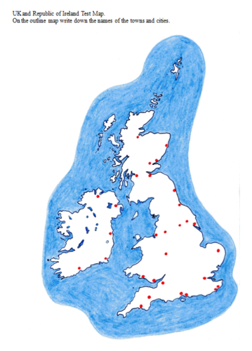
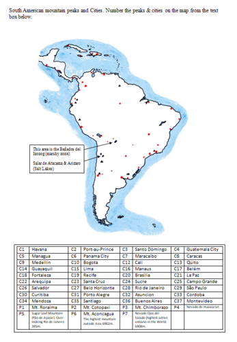
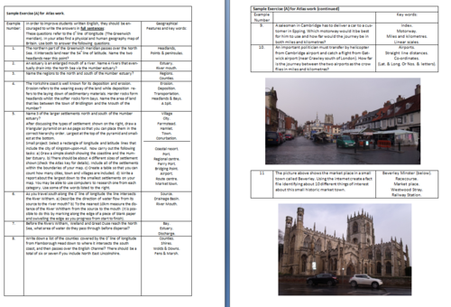
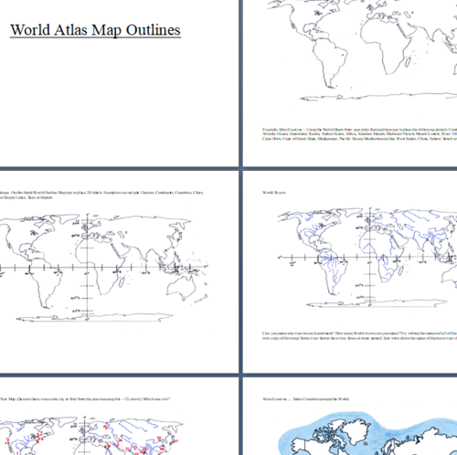
A 268 page document with over 50 outline maps from around the World. This resource book is to be used in conjunction with a school atlas. There are a multitude of exercises and challenges for students to use as homework or in the classroom with guidance from the teacher. Also included, there are over 180 photographs from the UK and around the World that can be used individually for lesson starters or as independent slide shows.
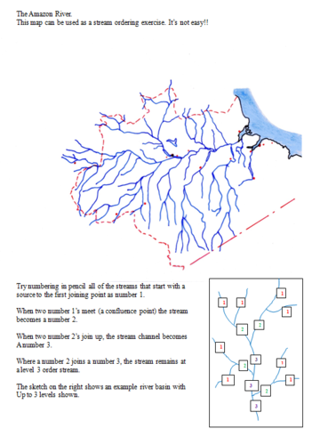
National Curriculum, Geography - This teaching resource offers a large proportion of the main elements included in the Key Stage 1, 2, 3 and 4 specifications. Location knowledge, Place knowledge, Human and Physical Geography and also elements of fieldwork skills have been covered in many different ways.
Almost every page has a Geographical question, exercise or challenge for a wide range of ability levels. Many of the photographs could also be used in PSHE lessons or Tutor Time to inspire discussion, comments and possibly written work.
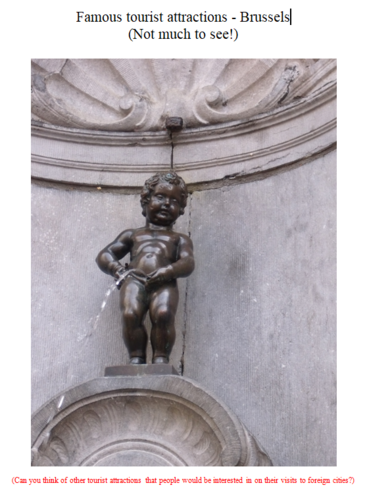
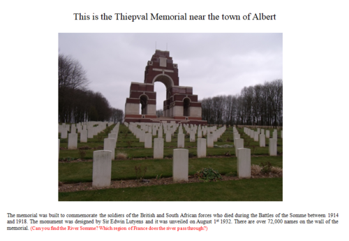
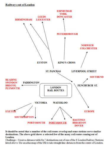
Special areas of interest: China, Spain, France, Belgium, Malaga, Palm Springs, London, Bristol, WW1 Picardie and Flanders.
Get this resource as part of a bundle and save up to 38%
A bundle is a package of resources grouped together to teach a particular topic, or a series of lessons, in one place.
Something went wrong, please try again later.
This resource hasn't been reviewed yet
To ensure quality for our reviews, only customers who have purchased this resource can review it
Report this resourceto let us know if it violates our terms and conditions.
Our customer service team will review your report and will be in touch.
£3.00