


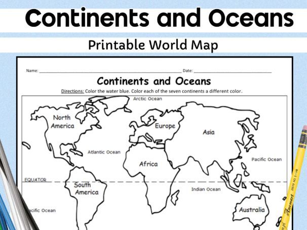
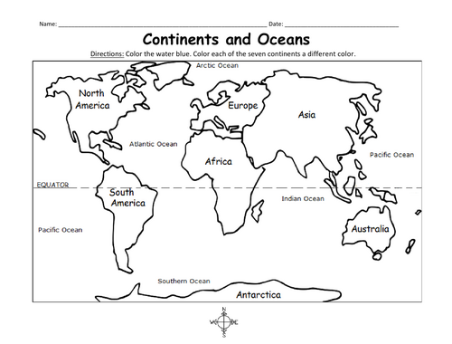
Teach the 7 continents and 5 oceans with this printable world map and coloring page! Students will identify and color the continents while becoming familiar with the locations of the Arctic, Atlantic, Pacific, Indian, and Southern Oceans. This simple print-and-go activity also includes the Equator and a compass rose.
This Continents and Oceans printable map is a simple way to introduce or review world geography and map skills. Use it for geography lessons, morning work, independent practice, review, homework, or an early finisher activity.
This printable map includes: North America, South America, Europe, Asia, Africa, Antarctica, Australia, Arctic Ocean, Atlantic Ocean, Pacific Ocean, Indian Ocean, Southern Ocean, the Equator, and a compass rose.
Students will need colored pencils or crayons. No prep needed. Just print and go! Instant download. Use standard copy paper to print. Prints in black and white. One page.
Thank you so much for using my printable worksheets and activities with your students! I hope you find them useful. Reviews are welcome and very much appreciated! Please follow this store for more printable worksheets with simple maps to introduce your learners to the countries of the world!
Something went wrong, please try again later.
This resource hasn't been reviewed yet
To ensure quality for our reviews, only customers who have purchased this resource can review it
Report this resourceto let us know if it violates our terms and conditions.
Our customer service team will review your report and will be in touch.
$1.99