I would describe my teaching style as "21st century facilitator." As a true facilitator, I believe students should be responsible for their own learning and be more independent. I strive to allow my students to reach these goals by designing dynamic lessons, heavy on technology, with real world applicability. When I design my lessons, I stress this real world aspect, because I believe students must understand the basic purpose of a lesson before they will consider the message behind it.
I would describe my teaching style as "21st century facilitator." As a true facilitator, I believe students should be responsible for their own learning and be more independent. I strive to allow my students to reach these goals by designing dynamic lessons, heavy on technology, with real world applicability. When I design my lessons, I stress this real world aspect, because I believe students must understand the basic purpose of a lesson before they will consider the message behind it.
This is the create-a-country project which requires students – upper elementary, middle, or high school – to demonstrate fundamental geography skills.
I mention it is a scalable assignment. Simply, there are different versions of this two-part assignment here: an upper elementary school assignment, a middle school assignment, and a high school assignment. Of course, you can mix-and-match to fit the needs of your classes.
Both parts of this assignment require students to think critically to earn full credit. The first part of the assignment requires them to define their country’s unique characteristics. The second part is a map-making assignment in which they take the displayable characteristics from part one and illustrate them on a blank piece of paper. This can be a very powerful and engaging project!
I have used this assignment with success in a few ways. Sometimes, I use only the map-making part of the assignment to determine what my students already knew about map-reading skills. Another time, I used the definition assignment to reinforce an introductory unit on physical and cultural geography. I have also combined both parts of the assignment as a unit-ending project. I find this project asks students to think critically about the many characteristics that make up a country.
This packet contains the following:
•Two assignments-in-one: a definition assignment which requires detailed, thoughtful answers and a map-making assignment.
•There are three versions of the definition part of the assignment. These have been built to scale. Consider using the first version in an upper elementary classroom, the second version in a middle school classroom, and the third version in a high school classroom.
•Five lesson extension ideas.
•Two rubrics you may consider using to evaluate each part of the project.
The Create Your Own Culture Project will give students hands-on practice working with concepts that are sometimes difficult to understand.
What is a culture? What are culture traits? These are questions that students may struggle to define. If they are given the opportunity to create their own culture full of vibrant culture traits, I believe these concepts will be easier to master.
Throughout this project, students are challenged to create unique characteristics and explain them thoroughly.
There are other parts in which students must draw their creations. If used in its entirety, this can be a very powerful and engaging assignment!
Of course, depending on your instructional goals and how much time you have available to you will also determine how much of the packet you may wish to use.
Nothing in the packet is numbered – and for good reason! – so that you can mix-and-match handouts to meet specific goals. A complete project will give students the most immersive experience, but a handful of pages will also prove beneficial.
A word of advice before you start: this assignment works best when students are required to take it seriously. They are asked to justify their answers in the assignment to cut down on “nonsense answers.”
What about an extension idea?
Consider displaying all of these projects displayed with colorful images and bold lettering on a poster board or bulletin board display.
You might even host a multicultural fair in your classroom in which students present and explain the cultures they have created. What fun!
If you should try this, would you please email me a photo or two of the finished work? I love seeing examples of how the assignments I write are used in the classroom.
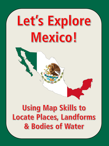
This assignment is titled "Let's Explore Mexico! Use a Map to Find Cities, Landforms, States, Bodies of Water and More." This assignment includes 20 questions that require students to analyze a map of Mexico for boundaries and borders, major cities, landforms, and bodies of water.
This would make a great introduction to middle school students preparing to study Mexico for the first time in either a World Languages class or a geography class.
You might even consider it a "substitute assignment" and leave it for a substitute teacher on a day you are away from the classroom. This assignment works well as an individual assignment or as a partner assignment.
This activity will provide a good warm-up activity for the beginning of a unit on map skills, an additional practice for quick finishers, and more.
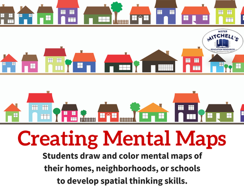
Students will create a mental map of their school, their neighborhood, or their home.
A mental map is a map you create in your mind of a familiar place. You have been creating these kinds of maps to navigate from place-to-place since you were very young. Think of it like a drawing of a place you carry around in your mind.
If you can visualize a place or location in your mind, you have a strong understand of mental mapping skills already. For example, you have a strong map of your school in your mind if you can walk from one part of your neighborhood to another without asking for help.
In this activity, you will draw a mental map on a piece of paper. You may draw a mental map of your school, your neighborhood, or your home.
The activity comes with a checklist to guide students when they create their maps.
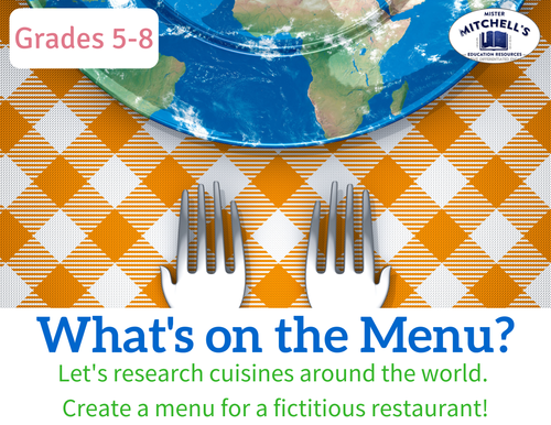
What’s on the Menu? is one of my favorite ways of introducing my students to different cultures around the world and begin thinking critically about how people interact with their environments and vice versa. What better way to do so than with food?
Here is what is expected of students in this assignment:
Through an intensive, research-based study, students will learn about cultural similarities and differences around the world, particularly the foods people eat. The final project may provide a unique and fascinating study of the geography, history, economic, religious, and cultural factors that influence cuisine around the world.
This assignment works best when tied to a map study or long-range unit of study that allows students to see how people influence their environments and how their environments influence them.
The project should require students to provide thoughtful answers to questions about how, why, and where culinary interests develop.
This packet contains the following:
•A universal menu template that students can use to research ANY country’s cuisine. It is color-heavy, and if your school or classroom budget does not allow printing of heavy images, I have provided an alternative that will require less ink and copier toner.
•The aforementioned printer-friendly menu template for any international menu. I have also included several individualized menus for the following nations: Brazil, France, Greece, India, Italy, Jamaica, Japan, Kenya, Mexico, and Thailand.
•Three lesson extension ideas.
•A rubric you may consider using to evaluate the project.
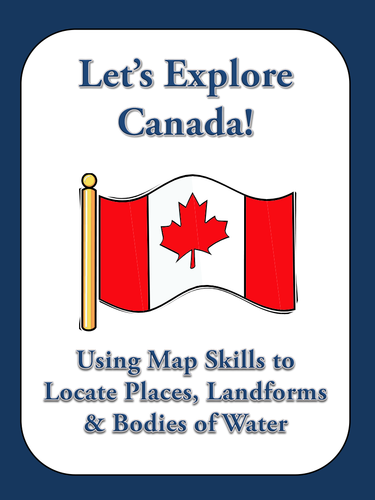
This assignment is titled "Let's Explore Canada! Use a Map to Find Canadian Provinces, Territories, Cities, Landforms, and Bodies of Water." This assignment includes 20 questions that require students to analyze a map of Canada for boundaries and borders, major cities, landforms, and bodies of water.
Here are two sample questions:
"Which river forms part of the border between Ontario and the American state of New York?" and "What is the name of Canada's southernmost province?"
I also included two basic mapping assignments: students must label maps of the provinces and territories, and the provincial and territorial capital cities.
This would make a great introduction to elementary students preparing to study Canada for the first time.
It would also work well in any higher elementary or middle school classroom as map skills are still critical needs in these areas.
You might even consider it a "substitute assignment" and leave it for a substitute teacher on a day you are away from the classroom. This assignment works well as an individual assignment or as a partner assignment.
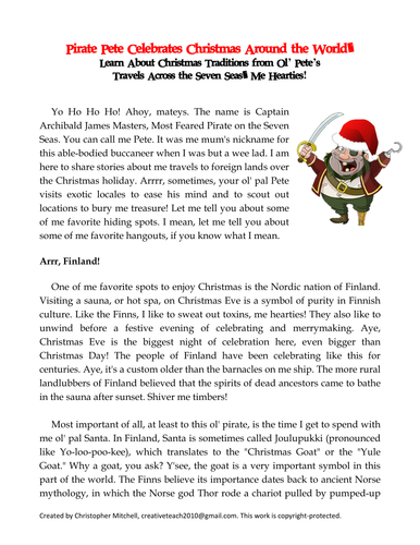
Pirate Pete is back, me hearties! The loveable goofball pirate is rip-roarin' and ready to teach your kiddies about Christmas traditions in different parts of the world.
Join the funny pirate in a discussion about Christmas traditions in Finland, Australia, the Bahamas, Germany, and Japan.
Plus, ol' Pete introduces students to a wild and wonderful place called Christmas Island, which is located in the Pacific Ocean.
This six-page reading assignment also features a guided reading handout and four assignments to keep your students engaged around the holidays! No small feat, right?
Preview before you buy!
This PowerPoint presentation is titled “The Great Wall of China - Let’s Take a Tour!” This is one of a handful of projects I have written about ancient civilizations.
The complete assignment includes (1) the PowerPoint presentation, (2) a KWL chart to activate the lesson, (3) 15 questions you can use to guide the lesson or use as a quiz afterwards, and (4) a handful of research prompts you might use to extend the lesson.
This particular PowerPoint is chock full of quality information about the Great Wall of China including historical information about the major dynasties that build the walls, details about how the walls were constructed, statistics about its size, and much more. Of course, I have also filled the presentation with high-quality color photos and clickable links to some key vocabulary terms and official Chinese history websites. If you have access to Google Earth and YouTube, you will also find clickable links embedded in the document so you can take your students on a virtual field trip to see the Great Wall of China from above (Google Earth) and to a classroom-safe video (YouTube) offering a first-person perspective so your students can feel what it is like to climb some of the steepest parts of the wall.
I envision using this PowerPoint presentation in a handful of ways: as either a classroom instruction tool on a SmartBoard or as a self-guided PowerPoint that students can access as a homework assignment.
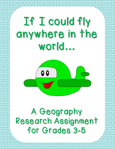
This project contains 15 questions for younger researchers to consider when planning a trip to a new place. These questions will test students' abilities to think about geography skills like location and direction as well as provide opportunities to learn about new cultural experiences.
Students will need either access to age-appropriate Internet resources or books about the countries of their choice.
The final results might pair well with a bulletin board or poster display.
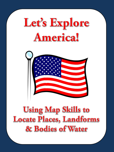
This packet is titled "Let's Explore America! Use a Map to Find American States, Cities, Landforms, and Bodies of Water."
It includes seven assignments you can use to teach essential geography skills. Please see the full preview!
This would make a great introduction to young students preparing to study the United States for the first time.
You might even consider them "substitute assignments" and leave them for a substitute teacher on a day you are away from the classroom. These assignments will work well individually or as a partner assignment.
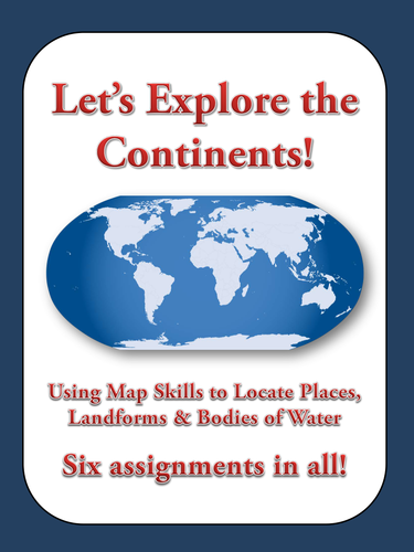
This is a bundle of six map skills assignments for Europe, Asia, Africa, Australia and the Pacific Islands, North America, and South America. Each is titled respectively "Let's Explore! Use a Map to Find Countries, Capital Cities, Landforms, and Bodies of Water."
These assignments include 20 questions each that require students to analyze a map of each continent for boundaries and borders, major cities, landforms, and bodies of water.
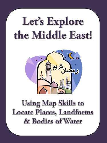
This assignment is titled "Let's Explore the Middle East! Use a Map to Find Countries, Cities, Landforms, and Bodies of Water." This assignment includes 20 questions that require students to analyze a map of the Middle East for national borders, capital cities, landforms, and bodies of water.
Here are two sample questions:
"In which country is Mount Demavend located?" and "Name at least three countries that border the Red Sea."
This would make a great introduction to young students preparing to study world regions for the first time.
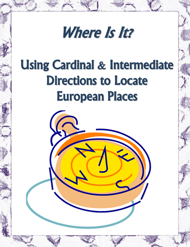
This is a map skills assignment for young students that teaches students how to properly use cardinal directions (north, east, south, west) and intermediate directions (northeast, northwest, southeast, southwest) with a map of Europe.
So, what makes this assignment different from all of the others that you have used? The assignment is written so that students must interact with the map before they use cardinal and intermediate directions.
They must first properly label the cardinal and intermediate directions on the included map's compass rose. Then, they must locate and label 15 European cities and 10 bodies of water. After successfully locating these places, there are 10 questions that require them to think about how people move from one city to another.
You are about to download a research project titled “Roman Rulers: The Good, the Bad… and the Weird.”
Students must research one of the following emperors of Ancient Rome: Julius Caesar, Octavian (Augustus), Claudius, Nero, Vespasian, Titus, Hadrian, Marcus Aurelius, Caligula, or Commodus.
They must determine the emperor’s strengths and weaknesses and their contributions to Roman life.
In the assignment packet, you will find:
For students: a role-playing letter for students to read as an introduction to the project, a step-by-step list of detailed instructions, research logs, and a works cited page to document their sources.
For teachers: a list of required materials, a pacing guide, two rubrics, and a list of reputable online resources for students to use when they conduct their research.
This project is intended as a cumulative assignment to enrich a unit on Ancient Rome. It would work best with middle school or high school students. You might modify it for mature elementary school students.
Additionally, this project demands higher level critical thinking, as students must assess the importance of the emperor they have chosen. (This is not a biographical sketch.) They must also demonstrate teamwork skills, research skills, proper MLA citation, 21st century technology skills, the ability to work against a deadline, and much more.
Absolute and relative location are two basic, important geography tools that all students must master. Why not teach students these vital skills in a fun, active way? This assignment will do just that!
Absolute location, of course, requires students to use latitude and longitude to give their answers. Relative location requires cardinal directions (north, south, east, west) and intermediate directions (northeast, northwest, southeast, southwest).
While there are many available assignments to teach these concepts to elementary school and middle school/junior high school students, here’s one with a twist!
Students will locate 20 professional soccer/European football/futbol teams using absolute and relative location. I have chosen 20 teams from six continents including clubs in India, Japan, Canada, Brazil, the Netherlands, Australia, and several more.
This would be a great map assignment to introduce political map skills as it allows students to become better acquainted with nations and continents. Additionally, students might find it exciting to learn that there are soccer/European football/futbol teams on every continent but Antarctica!
Included, please find the assignment with a chart for record-keeping, an answer key, a blank world map, a political world map, and an idea for an extension assignment.
Plus, how about this idea for an educational technology activity? If you have Google Earth installed on your classroom computer(s), you can visit every soccer stadium included in this assignment! Simply, download the KML file included in this packet and the file should load automatically into Google Earth. Take your students on a virtual tour today. Thank you!
Absolute and relative location are two basic, important geography tools that all students must master. Why not teach students these vital skills in a fun, active way? This assignment will do just that!
Absolute location, of course, requires students to use latitude and longitude to give their answers. Relative location requires cardinal directions (north, south, east, west) and intermediate directions (northeast, northwest, southeast, southwest).
While there are many available assignments to teach these concepts to elementary school and middle school/junior high school students, here’s one with a twist!
Students will locate all 32 NFL football teams using absolute and relative location.
January 2023 update: Team names and locations have been updated. Also, it’s easier than ever to take the Google Earth tour of NFL Stadiums. This document describes 5 quick, easy steps to get started. Also, all stadiums and respective cities have been updated since last season.
This would be an effective assignment near the beginning of the school year, when students are transitioning into autumn and the NFL season opens its newest season. However, its strength will help reinforce skills later in the school year as well.
Included, please find the assignment with a chart for record-keeping, an answer key, a blank USA map, a political USA map, and an idea for an extension assignment.
Plus, how about this idea for an educational technology twist? You can visit each and every NFL football stadium using Google Tour Builder! There is nothing to install. Simply, follow the link included in this packet and take your students on a virtual tour today.
This PowerPoint presentation is titled “The Colosseum - Let’s Take a Tour!” I will create and upload a series of interactive PowerPoint presentations similar in structure and style to this one to help upper elementary and middle school students learn more about the world around them.
The complete assignment includes (1) the PowerPoint presentation, (2) a KWL chart to activate the lesson, (3) 15 questions you can use to guide the lesson or use as a quiz afterwards, and (4) a handful of research prompts you might use to extend the lesson.
This particular PowerPoint is chock full of quality information about the Colosseum. Please download the sample to see for yourself. I have also filled the presentation with high-quality color photos and clickable links to some key vocabulary terms. If you have access to Google Earth and YouTube, you will also find clickable links embedded in the document so you can take your students on a virtual field trip to see the Colosseum from above (Google Earth) and to a classroom-safe video (YouTube) offering a first-person perspective so your students can feel what it is like to be there.
I envision using this PowerPoint presentation in a handful of ways: as either a classroom instruction tool on a SmartBoard or as a self-guided PowerPoint that students can access as a homework assignment.
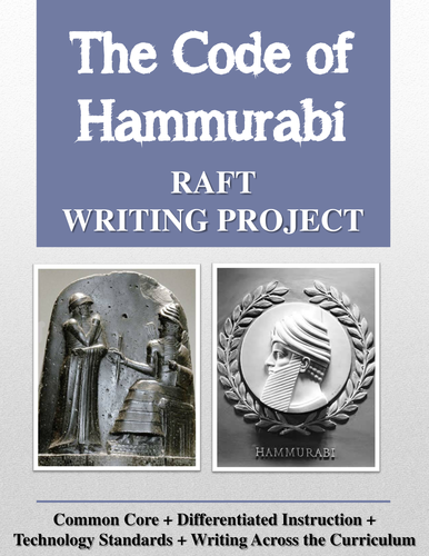
Would you like to enliven ancient history with a fun, challenging writing project? The Code of Hammurabi RAFT Writing Project contains a RAFT writing project for the social studies classroom. This project may be used as a creative research project or as a summarizing assignment to end a unit of study on Mesopotamia, Ancient Babylon, or Hammurabi.
What is a RAFT, you might ask? RAFT is an acronym for a powerful writing strategy that provides rigor, flexibility, and variety. A RAFT can be implemented in all content areas, thus making it an excellent Writing Across the Curriculum resource. Young writers might pursue one of several genres of writing (expository, narrative, descriptive, argumentative or persuasive) to create one of several products (letter, television commercial, diary entry, etc.). I define this further in the packet.
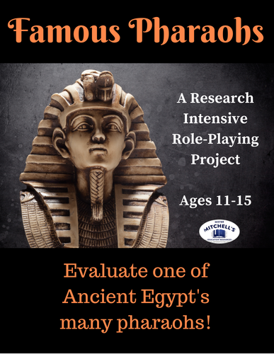
This is a research project about ancient Egyptian pharaohs that requires students to role-play as Egyptologists-in-training.
Students may choose one of these eight pharaohs: Akhenaten, Cleopatra, Hatshepsut, Khufu, Ramesses II, Seti I, Tutankhamen, or Thutmose III.
Their task is to evaluate their chosen pharaoh’s strengths and weaknesses as a leader and their contributions to Egyptian life and culture.
Here are some of the specifics:
For students: the role-playing letter introduction, step-by-step directions for implementation (written in plain English for students to easily understand), research logs, and a works cited page to document their sources.
For teachers: a list of required materials, a pacing guide, two rubrics, and a list of reputable online resources for students to use when they conduct their research.
This project is intended as a cumulative assignment to enrich a unit on Ancient Egypt.
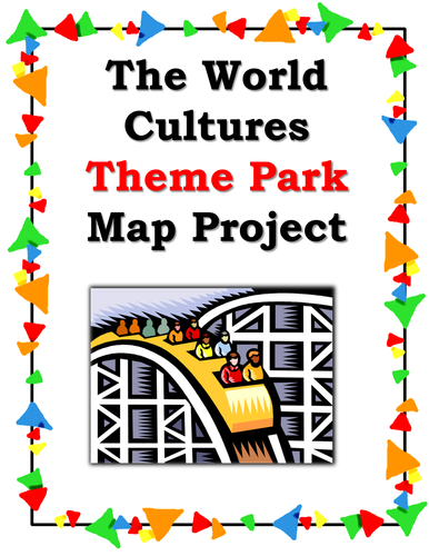
This is a five-page packet that provides detailed instructions for the world cultures theme park project. In this project, students will apply information they know about world cultures and then create a theme park reflecting those cultures in a unique, fun way.
I use it to reinforce students' knowledge about world cultures and to brush up on their mapmaking skills.
This would also make an excellent project to leave with a substitute teacher, as I have provided very detailed instructions that are easy to follow.
This project encourages creativity and critical thinking. You might consider using it as an alternative to a test or an essay.
Students will create a theme park that demonstrates their acquired knowledge of a nation's culture, while also demonstrating an ability to accurately create and label a map. You can adapt this assignment to fit any culture (or cultures) that you have taught.