
Learners use research materials to label the maps of Wales with the main rivers and areas of population. Geography / topic task - Atlases or internet access required.
3 Levels of differentiation:
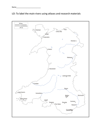
BS (Lower) - Research and label the main rivers
AA (Middle) - Research, draw and label the main rivers
MAT (More able) - Research, draw and label the main rivers and towns/cities
LO: To label the main rivers using atlases and research materials
3 Levels of differentiation:
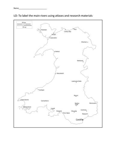
BS (Lower) - Research and label the main rivers
AA (Middle) - Research, draw and label the main rivers
MAT (More able) - Research, draw and label the main rivers and towns/cities
LO: To label the main rivers using atlases and research materials
Something went wrong, please try again later.
This resource hasn't been reviewed yet
To ensure quality for our reviews, only customers who have purchased this resource can review it
Report this resourceto let us know if it violates our terms and conditions.
Our customer service team will review your report and will be in touch.
£3.00