
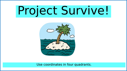
This is a lesson (teaching presentation and activity) for teaching coordinates in all four quadrants.
A knowledge of coordinates in the first quadrant is assumed alongside a basic knowledge of the principles of negative numbers.
The resource is survival themed (as it was delivered as part of a survival learning journey) but it could be used in any maths lesson to teach coordinates in all 4 quadrants - the theme just makes it a little more engaging. It is equally easily adaptable as a pirate treasure map activity.
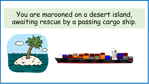
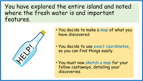
Children imagine themselves on a desert island. They want to create a map for their fellow castaways (or pirates) indicating where the fresh water is, the firewood etc. they must create their own desert islands, plot co-ordinates for all the key features and then state what the coordinates are in a key. Children will love the creative element of this - the maps could be decorated and improved further in pm sessions - this is the type of challenge/activity that they do again at home for the fun of it. It has been deliberately left for the children to decide what their island looks like, and what is important to plot, so that they have full ownership of the ideas.
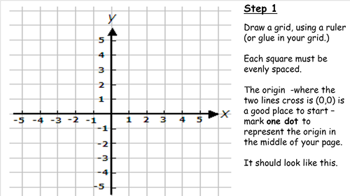
There are teaching slides on how to read and plot co-ordinates in the 4 quadrants and the activity instructions are carefully scaffolded (Children will make mistakes if asked to draw their own axes in their maths books without a clear explanation about how to do so - we discovered the hard way!)
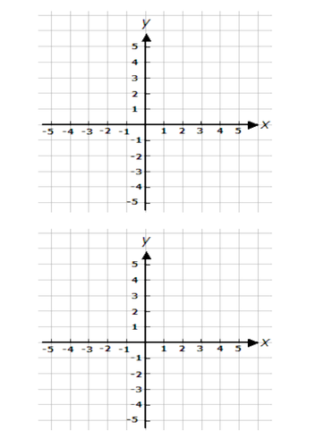
There is also a printable grid for LA pupils, who will still be able to create their own island, and plot their own features.
Tip: print a few extras, so if anyone does struggle to draw the axis in their books, and needs to re-start, this could be glued in over the top.
I created this resource to be used as a survival themed project over a week in maths, at the end of term - there is an accompanying resource set on reading shipping maps and timetables, and creating a look-out rota/timetable.
I hope you enjoy delivering this lesson. I would be grateful if you could leave a review with a comment, once you have used it in class.
Something went wrong, please try again later.
This resource hasn't been reviewed yet
To ensure quality for our reviews, only customers who have purchased this resource can review it
Report this resourceto let us know if it violates our terms and conditions.
Our customer service team will review your report and will be in touch.
£2.00