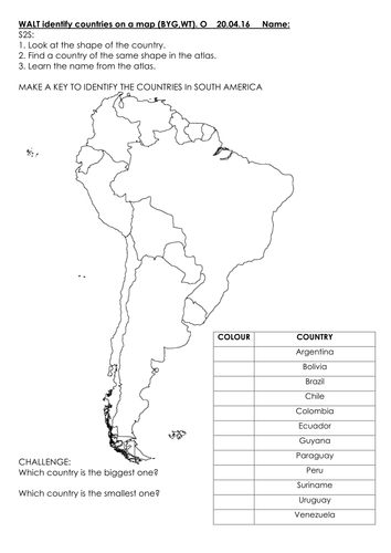

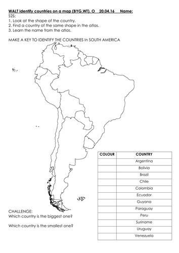
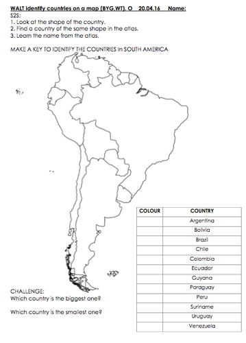
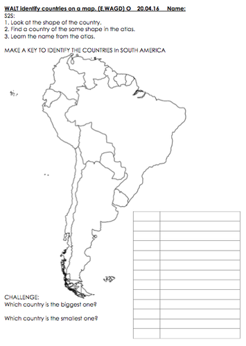
Two differentiated sheets for mapping South America.
Children make their own key of countries or fill in the key by colouring in the countries of South America.
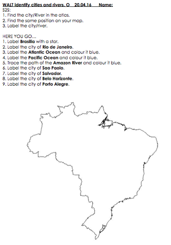
The challenges are based on Brazil and mapping cities/rivers.
Works best when copied on/blown up to A3.
Map for both attached in case your school has no atlases or not enough to go round.
Attached as PDF and WORD (same sheets).
Please see the 3 screen shots for detailed preview which can be found in the preview to the right.
Children make their own key of countries or fill in the key by colouring in the countries of South America.
The challenges are based on Brazil and mapping cities/rivers.
Works best when copied on/blown up to A3.
Map for both attached in case your school has no atlases or not enough to go round.
Attached as PDF and WORD (same sheets).
Please see the 3 screen shots for detailed preview which can be found in the preview to the right.
Something went wrong, please try again later.
This resource hasn't been reviewed yet
To ensure quality for our reviews, only customers who have purchased this resource can review it
Report this resourceto let us know if it violates our terms and conditions.
Our customer service team will review your report and will be in touch.
£3.00