
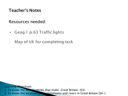
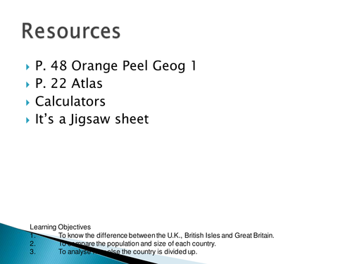
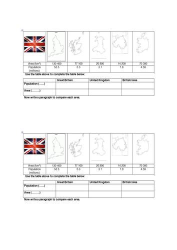
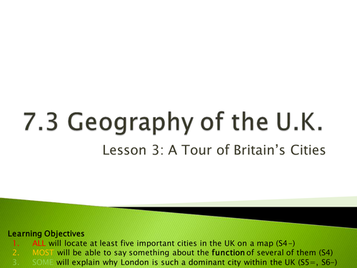


This is the first scheme of work we cover with our Year Seven students once they’ve done their skills and map work basics. It covers the make-up of the British Isles, the location and function of its main cities, an explanation of our temperate maritime climate, a lesson on relief rainfall, a skills exercise to do with migration that involves flow lines and lessons on population distribution, inequality and the North-South divide. It assumes that you have copies of Geog.1 in your department, but you could always edit those references out and substitute questions and activities from books that you do have.
Something went wrong, please try again later.
This resource is not showing writing just blocks. Cannot make use of it.
Report this resourceto let us know if it violates our terms and conditions.
Our customer service team will review your report and will be in touch.
£9.99