
Orienteering - PPP10
The Shape of the Land & Understanding the Contours.
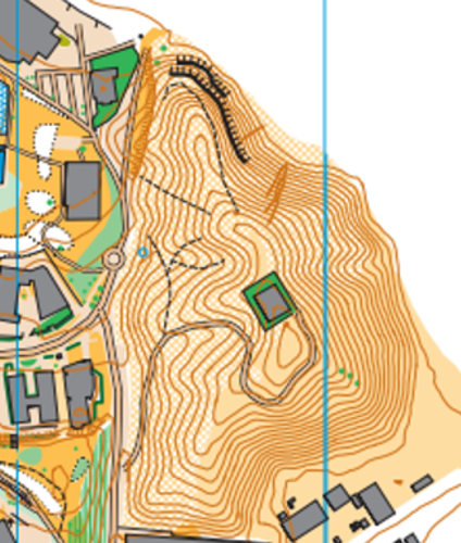
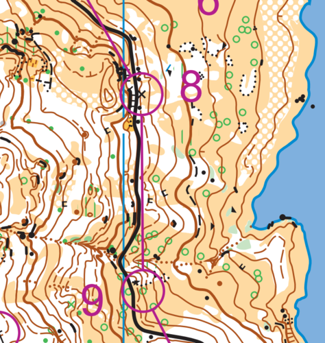
The aim of this presentation is to help the beginner and intermediate orienteer to get a mental image of the rise and fall of the landscape. In order to achieve success in this challenge, we need to understand the concept of contour lines. These brown lines on an orienteering map represents the differing levels in the landscape. In terms of altitude each line, (level on the land) could be between 2.5 and 5.0 metres apart. Contour lines close together reflect very steep slopes whereas lines wider apart would describe flat or gradually sloping land. This presentation aims to describe how the landscape can be pictured in one’s own mind thanks to the specific contour patterns shown on the maps. Some of the landscape features have specific names and shapes so they are easier to recognise and identify. Reading the contours and knowing the shapes takes the orienteer to a different level of success.
Something went wrong, please try again later.
This resource hasn't been reviewed yet
To ensure quality for our reviews, only customers who have purchased this resource can review it
Report this resourceto let us know if it violates our terms and conditions.
Our customer service team will review your report and will be in touch.
£3.00