


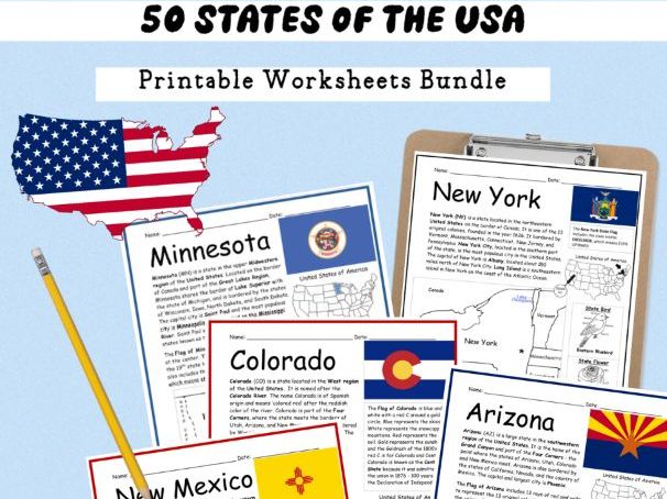

Need an engaging way to introduce your upper elementary students to the 50 states of the USA? Do so one state at a time with this bundle of printable worksheets! Each state includes two printable worksheets (plus answer key). Simple map activities and reading comprehension questions. Includes state location, region, capital city, flag, state bird and state flower. Use compass to practice cardinal and ordinal directions. Instant download. Print and go! 102 pages. Interactive notebook option below.
For each state, your students will…
-
Read a brief introduction to that state. Includes location, surrounding states, capital, flag, state bird, state flower.
-
Write the name of the capital city next to the star on the map to show the location of the capital.
-
Color the map (optional for interactive notebook activity)
-
Use the map and compass to answer questions on page 2. Use compass to practice cardinal and ordinal directions.
-
Create a 50 States of the USA Notebook! (see below).
Colored pencils and a pen or pencil are needed for this activity. No other prep needed. Basic Geography worksheets with simple maps to introduce the state and practice cardinal and ordinal directions.
For use with Interactive Notebooks: After the worksheets for a state are completed, students can cut out the map, flag, state bird and flower, and paste into the notebook under the topic of 50 States of the USA / Sub-Topic: (state). Under the map, students can write a summary in their own words of what they now know about this state. Add one state at a time until all 50 states are completed!
Also included in this bundle: UNITED STATES MAP - Write the name of each state on the map (the first letter of each state is included as clues. Answer sheet included).
States included in this bundle:
ALABAMA
ALASKA
ARIZONA
ARKANSAS
CALIFORNIA
COLORADO
CONNECTICUT
DELAWARE
FLORIDA
GEORGIA
HAWAII
IDAHO
ILLINOIS
INDIANA
IOWA
KANSAS
KENTUCKY
LOUISIANA
MAINE
MARYLAND
MASSACHUSETTS
MICHIGAN
MINNESOTA
MISSISSIPPI
MISSOURI
MONTANA
NEBRASKA
NEVADA
NEW HAMPSHIRE
NEW JERSEY
NEW MEXICO
NEW YORK
NORTH CAROLINA
NORTH DAKOTA
OHIO
OKLAHOMA
OREGON
PENNSYLVANIA
RHODE ISLAND
SOUTH CAROLINA
SOUTH DAKOTA
TENNESSEE
TEXAS
UTAH
VERMONT
VIRGINIA
WASHINGTON (state)
WASHINGTON DC
WEST VIRGINIA
WISCONSIN
WYOMING
Includes 102 pages. Print in color for state flags. Use standard copy paper to print.
Thank you so much for using my Geography worksheets in your classroom! I hope you find them useful. Reviews are welcome and very much appreciated! Please browse this store for more printable worksheets with simple maps to introduce your learners to the countries and states of the world!
This complete unit is an easy prep, hands-on, engaging activity that is ideal for grades 3-6, resource room teachers, elementary social studies, SPED, bell ringers, ESL. Substitute friendly, ready to use!
Something went wrong, please try again later.
This resource hasn't been reviewed yet
To ensure quality for our reviews, only customers who have purchased this resource can review it
Report this resourceto let us know if it violates our terms and conditions.
Our customer service team will review your report and will be in touch.
$19.99