zip, 102.23 KB
zip, 102.23 KB
zip, 131.18 MB
zip, 131.18 MB
zip, 140.82 MB
zip, 140.82 MB

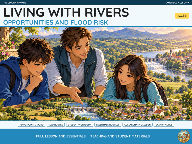
Explore why people choose to live near rivers and how they balance valuable opportunities against hazards.

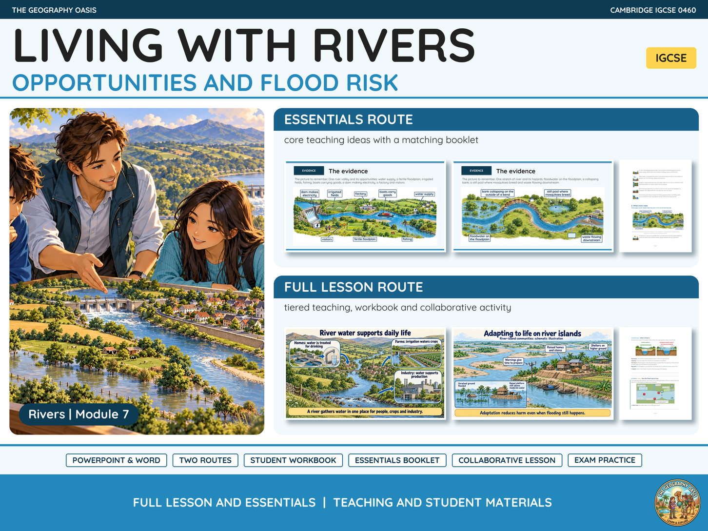
Living with Rivers links water supply, farming, transport and energy with flood risk, bank erosion and other costs of riverside locations. Students make decisions about a classroom settlement map, then revisit their choices when flood information changes what they know.

Learning includes

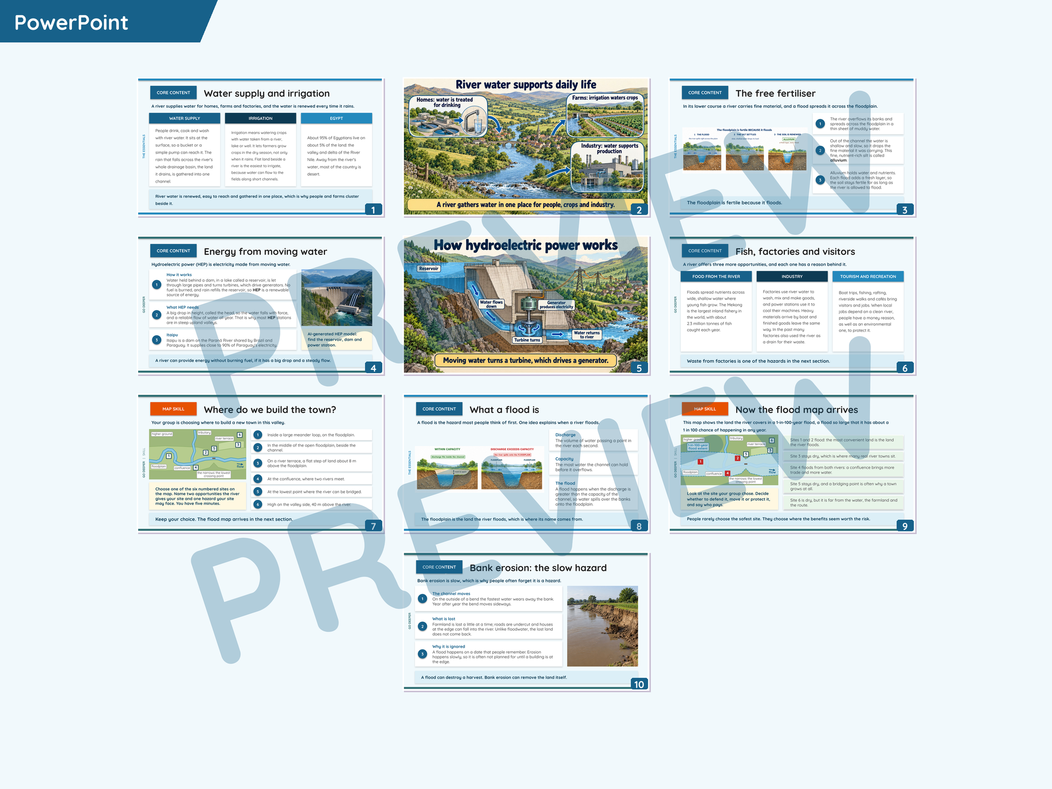
  • Explain why rivers attract settlements and economic activity.
  • Connect water supply, irrigation, fertile soils and transport with river locations.
  • Describe hydroelectric power and other uses of moving water.
  • Explain how flooding and bank erosion threaten people and property.
  • Use map evidence to justify a location and revise a judgement when new evidence arrives.

Teaching options and resources
Choose Full Lesson for core teaching, deeper explanations, skills and a collaborative lesson, or the separate Essentials presentation for focused core content with a matching booklet.

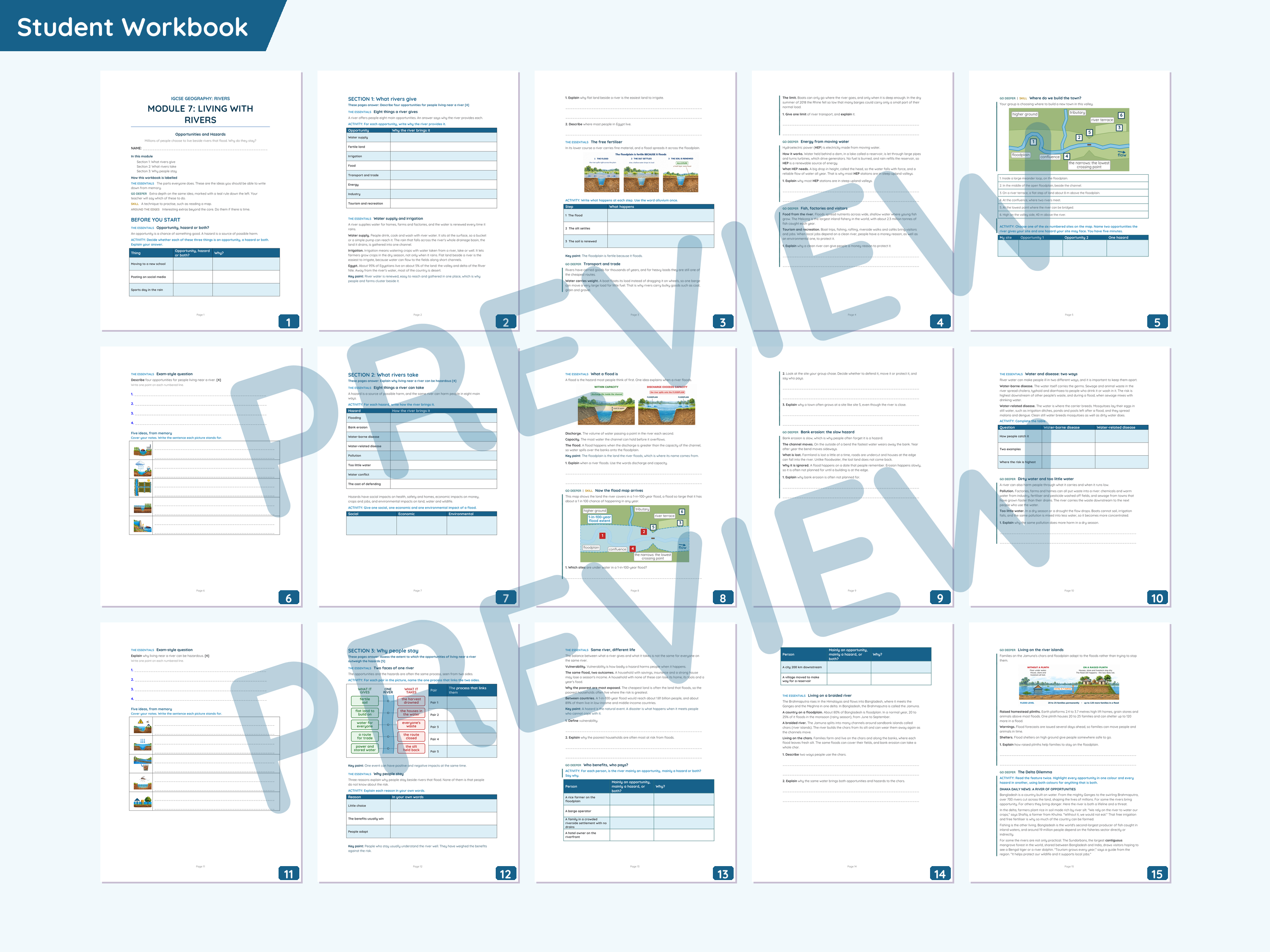
  • Student Workbook in colour, black and white and typed-answer versions.
  • Complete and notes Essentials Booklets, with colour and black and white options.
  • Exam practice, mark scheme and mini assessment.
  • The Honest Estate Agent presentation and supporting materials.

Collaborative lesson
Groups prepare a property advert that explains the advantages of a riverside location while being honest about its hazards. An unexpected insurance quote asks them to reconsider the asking price and their advice to buyers.

For Cambridge IGCSE Geography (0460), generally ages 14 to 16. Supplied in PowerPoint (.pptx) and Word (.docx). Text and instructions are editable; photographs and some illustrations are inserted images.

Module 7 of the Rivers unit. A review helps other teachers find useful resources.

Website activities included as a bonus
An access slide supplies a clickable link, QR code and purchaser code for this topic’s interactive Geography Oasis activities. Keep the code to sign in on another device.

Get this resource as part of a bundle and save up to 27%

A bundle is a package of resources grouped together to teach a particular topic, or a series of lessons, in one place.

Bundle

Rivers Unit: Drainage Basins, Landforms and Klang Case Studies | IGCSE Geography

**Teach a connected Rivers unit that links drainage basins and channel measurements with river processes, landforms and the choices people make beside rivers.** The nine modules move from the water cycle and drainage basin system to two detailed examples on flooding and pollution in Malaysia’s Klang River valley. The case studies supply the place background, maps, photographs and evidence students need to apply the general geography. **Modules included** - Drainage Basins and the Water Cycle - River Channels and the Bradshaw Model - River Processes: Erosion, Transport and Deposition - Upper Course River Landforms: Waterfalls and Gorges - Meanders and Ox-bow Lakes - Floodplains, Levees and Deltas - Living with Rivers: Opportunities and Flood Risk - River Flooding on the Klang: Malaysia Case Study - Klang River Pollution and the River of Life **Teaching routes and materials** Each module has a Full Lesson PowerPoint presentation, a separate Essentials presentation and matching Word student materials. The Full Lesson route includes deeper explanations, geographical skills, questions and a collaborative lesson; Essentials gives teachers a more focused route through the core content. Colour tags and saved custom shows support choices within the main presentation. Every module includes colour, black and white and typed-answer Student Workbook options, complete and notes Essentials Booklets, exam practice, a mark scheme and a mini assessment. The collaborative lessons have their own presentations and supporting student and teacher materials. Module 1 uses one shared A3 worksheet for the team; the other activities retain their own group or class materials. Students follow two raindrops through contrasting surfaces, compile a field notebook, teach river processes, act out waterfall formation and create a meander flip book. Later tasks ask them to write a delta recipe, advertise a riverside property honestly, report on the Klang floods and assess the River of Life programme. The different tasks give students reasons to explain processes, use evidence and revise their decisions. Designed for Cambridge IGCSE Geography (0460), generally ages 14 to 16. Supplied in PowerPoint (.pptx) and Word (.docx), with editable text and instructions. Photographs and some illustrations are inserted images. **Website activities included as a bonus** Each module includes its own access code for the interactive website activities. Its access slide supplies a clickable topic link and QR code. Keep the codes to sign in on another device. **If these resources are useful, a review helps other teachers discover them.** Photograph sources and licences are included in the preview PDF and Image credits.txt.

£50.49

Reviews

Something went wrong, please try again later.

This resource hasn't been reviewed yet

To ensure quality for our reviews, only customers who have purchased this resource can review it

Report this resourceto let us know if it violates our terms and conditions.
Our customer service team will review your report and will be in touch.