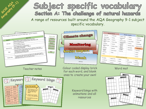
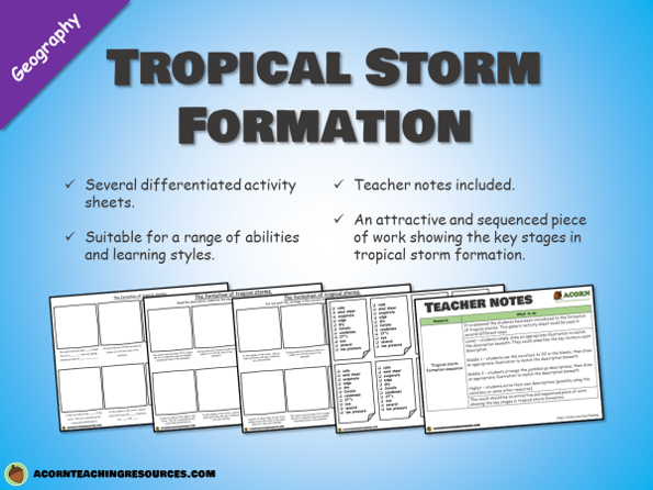
AcornTeachingResourcesAQA Geography 9-1 Subject Specific Vocabulary - The challenge of natural hazards - Resources (0)
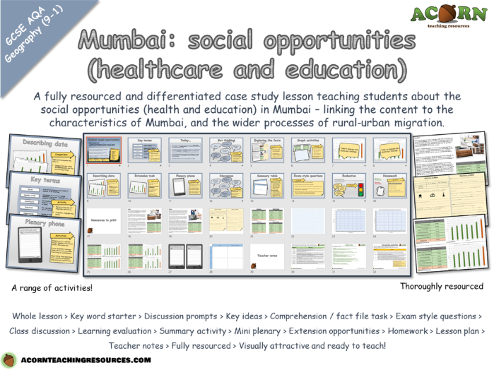
AcornTeachingResourcesUrban issues and challenges - Mumbai (social opportunities - healthcare and education) (0)