REACH OUT RESOURCESAverage Rating4.01(based on 79 reviews)Resources for Early Years up to Key Stage 4. All areas of the curriculum are covered. Edit shopAdd a resource
hayleyhillTRAVEL AGENTS ROLE PLAY RESOURCES DISPLAY KEY STAGE 1-2 GEOGRAPHY HOLIDAYS COUNTRIES TRANSPORT (0)
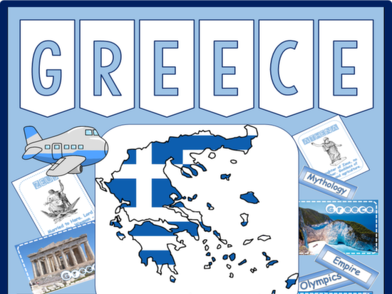
hayleyhillSCANDINAVIA - RESOURCES KS2-3 GEOGRAPHY MAP DENMARK ICELAND NORWAY FINLAND SWEDEN SWEDISH LANGUAGE (1)
Bundlehayleyhill*FOOD BUNDLE* FOOD ACTIVITIES, HEALTHY EATING, SUGAR, CHOCOLATE, FOOD TECHNOLOGY DISPLAY, FLASHCARDS, BALANCED DIET, HEALTH - KEY STAGE 1-26 Resources
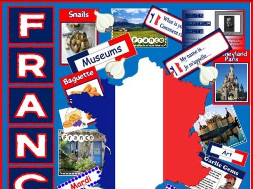
hayleyhillFRANCE and FRENCH LANGUAGE RESOURCES -MULTICULTURAL DIVERSITY TEACHING GEOGRAPHY FOOD ANIMALS (0)