International
Resources
Topical and themed
Pre-K and Kindergarten
Elementary
Middle school
High school
Special education
Education Jobs
Schools directory
News
Courses
Store
Resources
Education Jobs
Schools directory
News
Search
Tes for schools
Log in
Register
for free
Resources
Education Jobs
Schools directory
News
Magazine
Courses
Log out
Help
Home feed
My list
Courses
My Jobs
Job alerts
My CV
Career preferences
Resources
Author dashboard
Settings
Edit account
Log out
Home
Resources
Jobs
Schools directory
News
Magazine
Courses
Register for free
Log in
Help
Mr Mullarkey's Geography Shop
Add a resource
Edit shop
Average Rating
4.15
(based on 146 reviews)
Mr Mullarkey's Geography Shop
Average Rating
4.15
(based on 146 reviews)
Edit shop
Add a resource
45
Uploads
257k+
Views
137k+
Downloads
All resources
Geography
History
Citizenship
More
All resources
Lowest price
Relevance
Newest
Highest rated
Lowest price
mullarkey
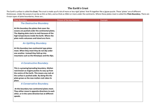
The Earth's crust (plate boundaries)
(16)
mullarkey
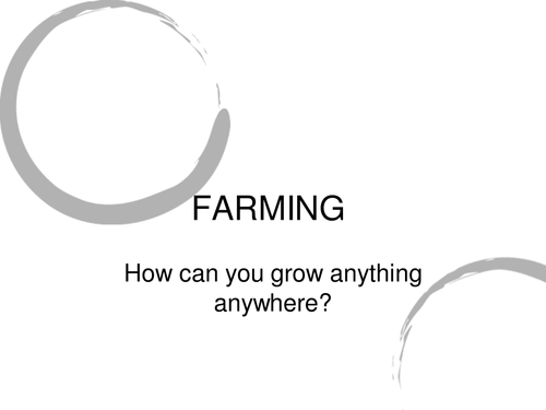
Farming in the UK
(8)
mullarkey
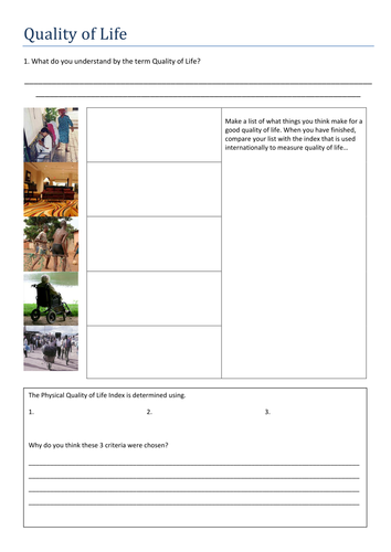
Quality of Life
(7)
mullarkey
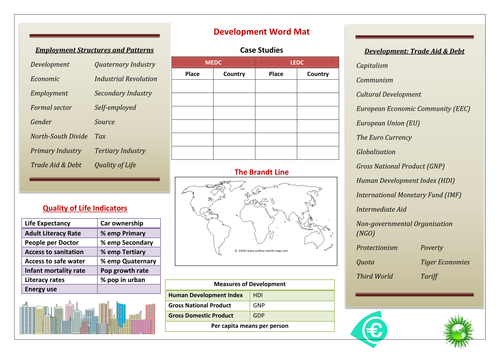
Development Word Mat
(5)
mullarkey
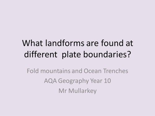
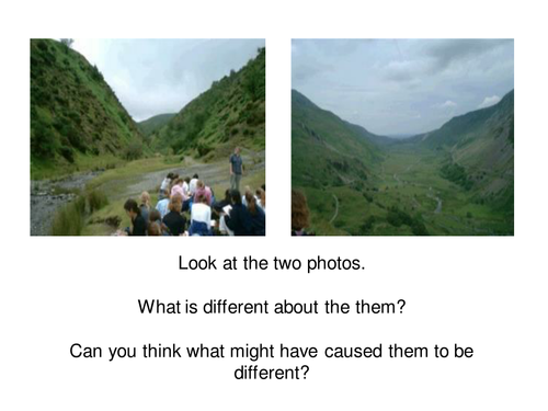
Landforms found at Plate Boundaries
(6)
mullarkey
Glaciers Nature's Bulldozers
(6)
mullarkey
benefits and problems of settlement growth
(6)
mullarkey
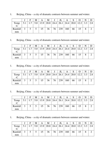
A Close up on China
(4)
mullarkey
Characteristics of the CBD
(3)
mullarkey
Investigating Coasts
(2)
mullarkey
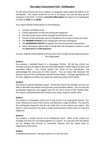
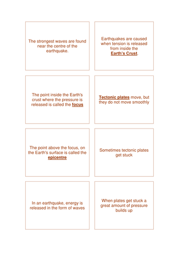
Earthquake Assessment
(4)
mullarkey
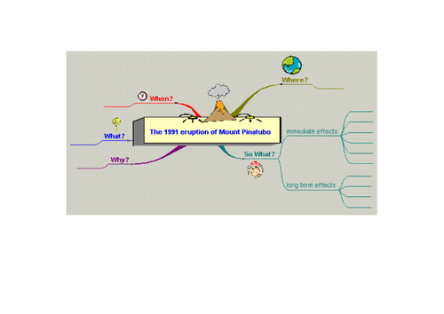
Mind Map Template Mount Pinatubo
(3)
mullarkey
The Japanese Earthquake 2011
(4)
mullarkey
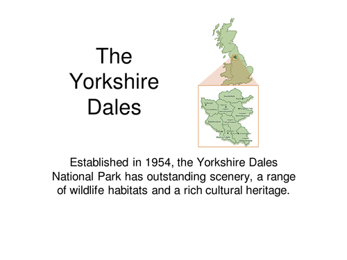
Yorkshire Dales
(3)
mullarkey
Where do People Live?
(2)
mullarkey
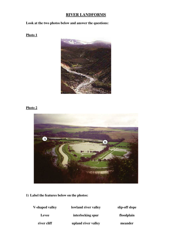
River Landform worksheet
(0)
mullarkey
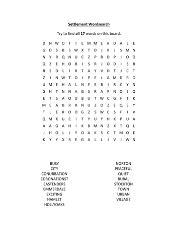
Settlement Wordsearch
(0)
mullarkey
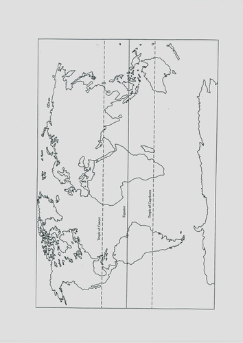
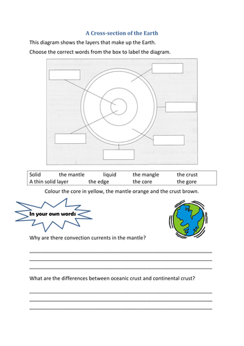
Earth: A cross section
(1)
mullarkey
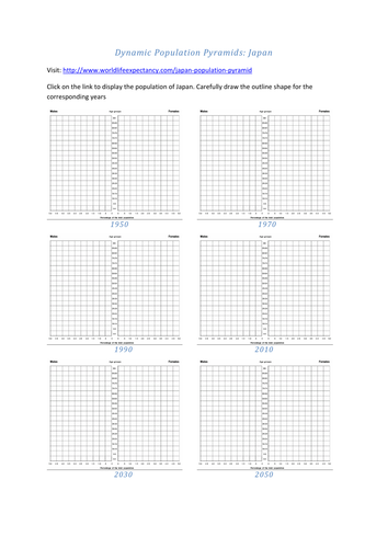
Dynamic Population Pyramids: Japan
(0)
mullarkey
The Niigata Earthquake
(1)
Previous
1
2
Next