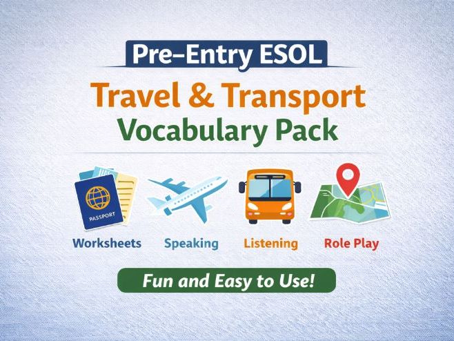
zip, 30.14 MB
zip, 30.14 MB
jpg, 393.32 KB
jpg, 393.32 KB
jpg, 789.32 KB
jpg, 789.32 KB
jpg, 827.94 KB
jpg, 827.94 KB
jpg, 763.06 KB
jpg, 763.06 KB
jpg, 800.64 KB
jpg, 800.64 KB
jpg, 570.25 KB
jpg, 570.25 KB
jpg, 468.8 KB
jpg, 468.8 KB
jpg, 715.71 KB
jpg, 715.71 KB
jpg, 830.99 KB
jpg, 830.99 KB
jpg, 596.55 KB
jpg, 596.55 KB
jpg, 887.04 KB
jpg, 887.04 KB
jpg, 586.14 KB
jpg, 586.14 KB
jpg, 988.27 KB
jpg, 988.27 KB
jpg, 511.37 KB
jpg, 511.37 KB
jpg, 1.12 MB
jpg, 1.12 MB
jpg, 460.76 KB
jpg, 460.76 KB
jpg, 935.03 KB
jpg, 935.03 KB
jpg, 517.44 KB
jpg, 517.44 KB
jpg, 980.81 KB
jpg, 980.81 KB

Surinam in 35 historical maps: 1522-2018 (116 pages)

The name Surinam comes from Surinen people, the earliest known native American inhabitants of the region. From 1667 till 1975 the country was a colony of The Netherlands. It had been governed by the WIC (West Indies Company), the counterpart of the VOC (Dutch East Indies Company). On some antique maps the name Dutch Guyana is used to identify the colony/country and distinguish it from the neighbouring areas British Guyana (to the West) and French Guyana (to the East). Maps of the south-American region Guyana already appeared at the end of the 16th century. Separate (printed) maps of Surinam, mostly made by Dutch cartographers in service of the WIC, appeared in the early 18th century.

Reviews

Something went wrong, please try again later.

This resource hasn't been reviewed yet

To ensure quality for our reviews, only customers who have purchased this resource can review it

Report this resourceto let us know if it violates our terms and conditions.
Our customer service team will review your report and will be in touch.